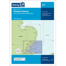
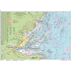
Imray 2100 Kent and Sussex Coasts Chart Pack

Item: 9781846239731
MPN: YOT0851
Thames Estuary to the Solent Imray A pack of 8 charts for the Kent and Sussex Coasts.
£52.50 £45.00
Product Description
A pack of 8 charts for the Kent and Sussex Coasts. The pack includes:
- 2100.1 Thames Estuary South
- 1: 120 000 WGS 84
- 2100.2 River Thames Sea Reach
- 1: 50 000 WGS 84
- 2100.3 The River Thames - Queen Elizabeth Bridge to Canvey Island
- 1: 35 000 WGS 84
- Plans Coalhouse Point to Canvey Island, Queen Elizabeth II Bridge to Coalhouse Point
- 2100.4 The River Thames - Tower Bridge to Queen Elizabeth Bridge
- 1: 35 000 WGS 84
- Plans Barking Creek to Queen Elizabeth II Bridge, Tower Bridge to Barking Creek
- 2100.5 River Medway
- 1: 40 000 WGS 84
- Plans Gillingham Marina, Port Werburgh, Whitton Marine, Continuation of River Medway
- 2100.6 The Swale
- 1: 40 000 WGS 84
- Plans Whitstable Harbour
- 2100.7 North Foreland to Dover & Calais
- 1: 115 000 WGS 84
- 2100.8 Dover to Dungeness & Cap Gris-Nez
- 1: 115 000 WGS 84
- 2100.9 Beachy Head to Dungeness
- 1: 115 000 WGS 84
- Plans Sovereign Harbour, Rye Harbour
- 2100.10 Nab Tower to Beachy Head
- 1: 160 000 WGS 84
- 2100.11 Kent Plans - including plan of Calais
- 1: various WGS 84
- Plans Ramsgate, River Stour Entrance, Dover, Calais, Folkestone
- 2100.12 Sussex Plans
- 1: various WGS 84
- Plans Newhaven, Brighton Marina, Shoreham Harbour, Littlehampton, The Looe
Call to order
Call us now to place your order.
Collect in Store
This item is available for collection.


