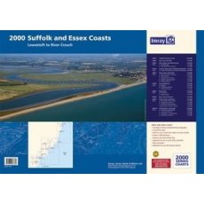
Imray 2000 Suffolk and Essex Chart Pack - Lowestoft to River Crouch
A pack of 10 charts for the Suffolk and Essex Coasts which includes:
A convenient A2 format chart pack of Suffolk and Essex Coasts covering the waters from the River Crouch to Lowestoft. The pack is provided in a sturdy plastic wallet.
This fully revised and extended edition of our popular 2000 Suffolk and Essex Coasts chart pack has been redesigned and expanded to 11 sheets, including improved...
Imray C15 The Solent Chart Pack Edition 2024
Covering one of the most popular sailing areas in Britain, The Solent chart provides all the information needed for planning and navigating this stretch of water.
This edition includes the latest official data from the UKHO combined with additional information sourced from Imray's network to make it ideal for small craft.
New: Vessel Traffic Services (VTS) reporting points
Imray charts for...
Imray 2100 Kent and Sussex Coasts Chart Pack
Thames Estuary to the Solent
Imray
A pack of 8 charts for the Kent and Sussex Coasts.
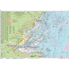
Imray C1 Thames Estuary Chart
Imray C charts offer coverage for cruising yachtsmen on larger size sheets.
They are suitable for offshore passage making and the medium scales chosen also allow safe inshore navigation.
Imray C1: Tilbury to North Foreland and Orfordness. (This chart includes the New Sunk TSS off Harwich)
Format: Sheet size 787 x 1118mm. Waterproof. Folded in plastic wallet.
Scale: 1:120000
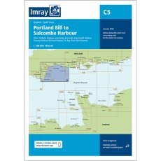
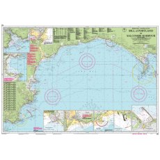
Imray C5 Bill of Portland to Salcombe Harbour Chart Edition 2023
Imray C charts offer coverage for cruising yachtsmen on larger size sheets.
They are suitable for offshore passage making and the medium scales chosen also allow safe inshore navigation.
Imray C5 Bill of Portland to Salcombe Harbour
Format: Sheet size 787 x 1118mm. Waterproof. Folded in plastic wallet
Scale: 1:100000
Plans included:
Bridport Harbour (1:5000)
Lyme Regis (1:10 000)
Exmouth (1:32 500)
Teignmouth...
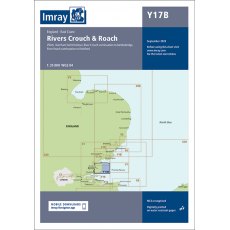
Imray Y17B The Rivers Crouch and Roach
Chart Y17 has been withdrawn and replaced by two new charts for 2022, providing coverage of Rivers Colne & Blackwater (Y17A) and Rivers Crouch & Roach (Y17B) at an improved larger scale.
This chart covers the Rivers Crouch & Roach and their approaches. It includes the latest official UKHO data, combined with additional information sourced from Imray's network to make it ideal for...
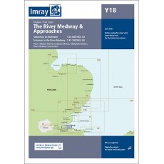
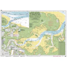
Imray Y18 The River Medway and Approaches June 2021
The River Medway and Approaches Sheerness to Rochester and River Thames Sea Reach
Format: Sheet size 640 x 900mm. Waterproof. Folded in plastic wallet.
Scale: 1:20000
Includes inset of River Thames Sea Reach (1:55 000)
Plans included:
Whitton Marine (1:6000)
Port Werburgh (1:6000)
Gillingham Marina (1:10 000)
River Medway Continuation (1:25 000)
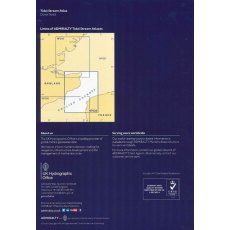
Admiralty NP233 Dover Strait Tidal Stream Atlas
ADMIRALTY
TIDAL STREAM ATLAS
DOVER STRAIT
NP233
3rd Edition
1995
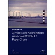
Admiralty 5011 Symbols And Abbreviations Used On Admiralty Charts
NP5011 8th Edition 2020
Gives details on symbols and abbreviations used on the worldwide range of ADMIRALTY charts, and international Chart Series Paper Charts. It also contains information on hydrography, topography and navigational aids and services.

REEDS CHANNEL ALMANAC 2025
The Reeds Channel Almanac contains essential navigation and pilotage information covering the south coast of England from the Scilly Isles to Dover, the Channel Islands and northern France from Calais to L'Aberildut.
Completely updated for 2025, topics include seamanship, pilotage, tide tables, safety procedures, navigation tips, radio, lights, waypoints, weather forecast information, communications,...
Reeds Eastern Almanac 2023
2023
The Reeds Eastern Almanac is the complete guide for North Sea mariners, offering ready access to essential navigation information covering the UK east coast from Ramsgate to Cape Wrath including the Shetland and Orkney Islands, and from Niewport to Delfzjil and Helgoland.
Completely updated for 2023, topics include seamanship, pilotage, tide tables, safety procedures, navigation tips,...
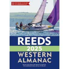
REEDS WESTERN ALMANAC 2025
The Reeds Western Almanac covers the British coastline from Cape Wrath to Padstow as well as the whole of Ireland, providing navigation and pilotage information for the coasts of Wales, Western Scotland, Ireland and Western England.
Completely updated for 2025, it offers ready access to essential navigation information by virtue of its clear layout and user friendly format. Topics include seamanship,...
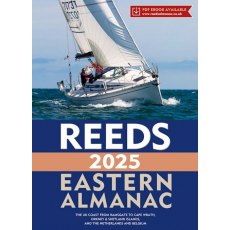
Reeds Eastern Almanac 2025
The Reeds Eastern Almanac is the complete guide for North Sea mariners, offering ready access to essential navigation information covering the UK east coast from Ramsgate to Cape Wrath including the Shetland and Orkney Islands, and from Niewport to Delfzjil and Helgoland.
Completely updated for 2025, topics include seamanship, pilotage, tide tables, safety procedures, navigation tips, radio, lights,...
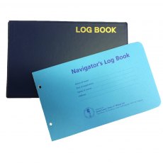
Imray Navigators Logbook
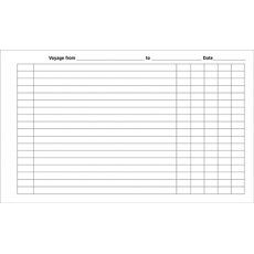
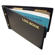
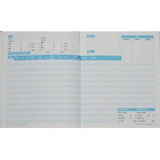
50 loose-leaf pages in a strong PVC cover, ring bound for easy refill.
Imray Navigator's Log Book
Navigator's Log Book
50 loose-leaf pages in a strong PVC cover, ring bound for easy refill.
Product Information
Stock code: IB0093-1
Author: Imray
Publication details: 14, Hard cover, waterproof binder
ISBN: 9780852881248
Imray Refills
Refill pad for the Imray Navigator's Logbook.
50 looseleaf pages
RYA G109 Sail & Power Logbook
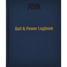
The RYA Sail and Power Logbook combines the previous RYA Sail and Power logbooks into one incredibly useful volume that is ideal for all cruising boaters.
This new logbook contains 90 logging pages and the bonus sections include: IALA buoyage; international code flags; plotting essentials (which incorporates dead reckoning and estimated position); and common abbreviations for nautical terms....
Logbook for Cruising Under Sail PB
Author: John Mellor
Format: Paperback, 96 Pages
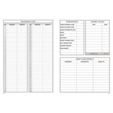
A modern sailor's logbook, fun to use and designed to last for a whole season.
Allows space for electronic navigation information and for narrative.
Also doubles as a visitor's book.
Mediterranean Spain (1st Combined Edition, 2017)
Mediterranean Spain
This new volume replaces the current two part coverage of the Mediterranean mainland coast of Spain from Gibraltar to the French border.
The entire coverage has been revised with the text updated, new plans added and others updated from the latest information.
There are numerous new photos to support the sailing directions.
This is the only detailed pilot for the Spanish Mediterranean...
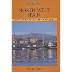
North West Spain Crusing Companion
Product details
Hardcover: 176 pages
Publisher: Fernhurst Books Ltd. (1 Sept. 2002)
Language: English
ISBN-10: 1904358101
ISBN-13: 978-1904358107
Yachting Monthly South West Spain & Portugal Cruising Companion
Book Clearance!!
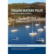
Italian Waters Pilot (10th Edition )
Italian Waters Pilot is the only guide for yachtsmen in English that covers the coasts of the Tyrrhenian Sea, Sardinia, Sicily, the Ionian 'heel' and Malta in one volume.
This new tenth edition builds on first-hand research by the authors through the Tuscan islands, along the Tyrrhenian and Ionian coasts, to Sardinia and Sicily, Malta and Gozo.Numerous revisions have been made throughout, with the...
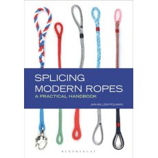
Splicing Modern Ropes
For any seafarer, splicing rope is an essential skill. But the traditional 3-strand rope is fast disappearing. So how do you splice braided rope?
This is the definitive guide to this crucial skill. Most of the techniques are quite easy to master and also fun to do. See why splices are better and stronger than knots or shackles for joining or shortening rope, and follow the step-by-step photographs...
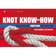
Knot Know-How
This beautiful full-colour book covers knots, splices and whippings. It begins with the ten knots everyone should know.
The other knots are grouped by use so that if, for example, you want to make a loop you have eight knots to choose from.
Each stage of each knot is illustrated and its uses, strong points and weak points are highlighted.
Reeds Splicing Handbook
For any seafarer, splicing rope is an essential skill but the traditional 3-strand rope is fast disappearing. So how do you splice braided rope?
This is the definitive pocket-sized guide to all rope splicing techniques. Most of the techniques are quite easy to master and also fun to do. See why splices are better and stronger than knots or shackles for joining or shortening rope, and follow the...
Competent Crew Skills
Competent Crew covers both the shorebased and the practical aspects of the RYA Competent Crew course. It will prepare newcomers for the first time afloat by explaining basic skills and boat handling including: sail trimming and sail handling; understanding the compass; sailing a course; anchoring and mooring; ropework; handling safety equipment; emergency procedures; simple collision rules; elementary...
G158 Yachtmaster Scheme Syllabus & Logbook
This new book provides detailed information about the structure and content of the practical and shorebased courses for both sail and motor cruising with the RYA Yachtmaster Scheme.
The RYA’s renowned practical training is complemented by a structured shorebased learning process on the theory of navigation, safety, seamanship and by specialist one-day courses on skills such as first aid and sea...
First Aid Afloat
A quick-reference manual for medical emergencies at sea as used by 12 boats in the Whitbread Round the World Race.
PB 96pg.
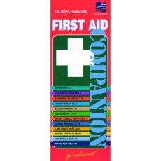
The First Aid Companion
This colourful aide-memoire covers most emergencies afloat:
- Drowning
- Unconsciousness
- External bleeding
- Immersion
- Hypothermia
- Seasickness
- Head injury
- Chest pain
- Fits
- Fractures
- Burns & scalds
- Heatstroke
- Communications in an emergency
Printed on strong card, fully laminated for water resistance.
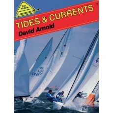
Sail to Win - Tides & Currents
The author explains how to find out about the predicted water-flow, how local conditions will modify it, and how to plan your strategy both inshore and offshore.
Tides and currents are predictable, yet few sailors use them to the best of their advantage. Whether you sail a dinghy, a yacht or a board, enormous gains can be made by understanding how the water moves. This book explains clearly how...
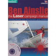
Ben Ainslie Laser Campaign Manual
The Olympic Gold Medallist explains how to win in this, the most competitive class.
Beautifully illustrated with colour photo sequences of Ainslie in action.
An online video including footage of him demonstrating every manoeuvre from starting, tacking upwind to downwind technique is also available.
Details of where to view the online videos can be found within the book.
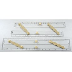
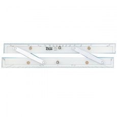
Parallel Ruler
Parallel ruler
*Impa Code 371001, 371002
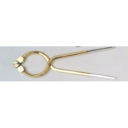
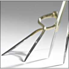
Blundell Harling 7" Brass Divider
Portland Solid Brass Single Handed Divider 7"
Traditionally designed
Solid Brass finish
Stainless steel points
Supplied in a blister pack
Also available with the Portland Course Plotter as a Kit,
12" Parallel Rule
No navigator should be without a good set of parallel rules as part of his navigation back up plan in the event of an electronic navigation failure.
This 12" parallel rule is accurate and durable.
Brushed aluminum arms
Polished aluminum handle
Milled with bevelled edges
Includes protractor scale
Dimensions: 1/4" (6 mm) thickness; 12" (305 mm) length
Lighthouses of the World
Lighthouses of the World
This book is a beautifully presented panorama of over 150 lighthouses from 56 countries all around the world, all of which are accessible and many of which can be visited. From lighthouses boldly beaming their lights from clifftops, to those clinging to the edge of cliff faces, this is a spectacular and unusual celebration of lighthouses from every continent. This is a wonderful...
Racundra's Third Cruise by Brian Hammett
Most people know of Arthur Ransome, the author of the classic children’s sailing tale, Swallows & Amazons, and many other books in the same series. But besides his exciting tales of children on the water there is much more to the man.
Before he wrote Swallows & Amazons,Ransome was a journalist for the Daily News, based in Russia. He is reputed to have played chess against Lenin...
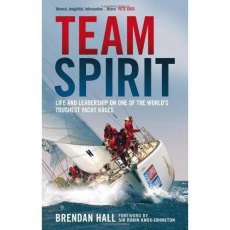
Team Spirit
Team Spirit is a gripping account of a race on the edge, and a young skipper's determined journey to victory.
The Clipper Round the World Yacht Race is the ultimate long distance challenge - a 35,000mile circumnavigation of the globe, contested by amateur crews in identical racing yachts and the winners are those who keep their focus the longest.
The 2010 winner was 28y/o Brendan Hall and...
Confessions "Yachtsmen Own up to Their Sailing Sins"
This pick of the pack from 20 years of the much loved Yachting Monthly column.
The Confessions: A light bedside read, designed to fill one with the comforting thought that many other yachtsman are equally as incompetent (or unlucky) as oneself
Sally's Odd at Sea
With no rowing experience and certainly no sea-going experience Sally Kettle took to the oars in her ocean rowing boat, Calderdale,in 2003
Fate however,had other plans,and when illness beset her then boyfriend and teammate she was joined on board by an unlikely partner,Sarah Kettle,her mother
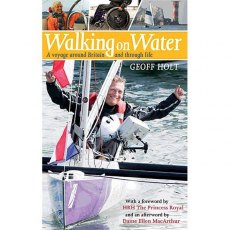
Walking on Water
On 5 September 1984, eighteen-year-old Geoff Holt dived into an idyllic tropical sea and his life changed forever. A broken neck cut short a promising career as a yachtsman and left him paralysed, with his horizons reduced to an uncertain future in a wheelchair.
On 5 September 2007, after a journey of 109 days and 1,445 miles, Geoff Holt crossed the finish line and reached the summit of his Personal...
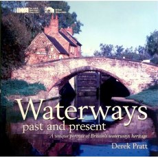
Waterways Past & Present
Discover the stunning waterways of Britain in this unique photograhic 1st Edition record of the magnificent and varied waterways heritage. The book covers 40 transitional years which follows Britains Inland waterways transformation from a thriving commerical transport system to the varied and beautiful cruising network it is today.


