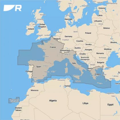
Raymarine LightHouse Chart (preloaded with Mediterranean region charts) on 32 Gb micro SD card
Take command with LightHouse Charts Western Europe. Discover visually stunning, customizable marine charts with color-shaded depth contours, data-rich points of interest, and superior clarity that only Raymarine can provide. LightHouse Charts allow you to uncover every detail and explore without limits. Compatible with Raymarine Axiom, Axiom+, Axiom Pro, Axiom XL, and Raymarine Element.
Nautical...
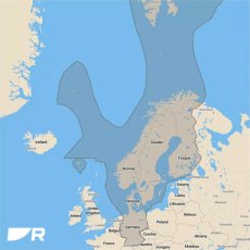
Raymarine LightHouse Chart (preloaded with Northern Europe charts) on 32 Gb micro SD card
Raymarine Lighthouse Chart: R70794-MED - Mediterranean - SD-Card
LightHouse Charts Mediterranean nautical chart coverage includes Spain, France, Italy, Malta, Croatia, Slovenia, Montenegro and Greece.
Take command of surrounding waters with LightHouse Chart - Mediterranean. Discover visually stunning, customizable marine charts with color-shaded depth contours, data-rich points of interest, and...
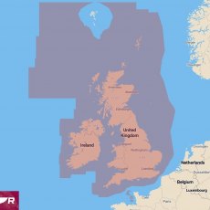
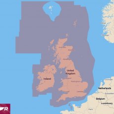
Raymarine LightHouse Chart (preloaded with UK & Ireland charts) on 32Gb micro SD card
Pre-programmed Chart Card for Raymarine AXIOM & ELEMENT Series.
LightHouse PREMIUM subscription includes chart updates, aerial photography and information on points of interest. Cancel at any time.
Discover visually stunning, customizable charts with colour-shaded depth contours, data-rich points of interest, and superior clarity that only Raymarine can provide. LightHouse Charts will give...
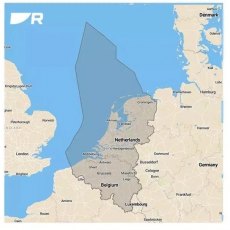
Raymarine LightHouse Chart preloaded with Belgium & Netherlands charts
Raymarine LightHouse Chart preloaded with Belgium & Netherlands charts
Pre-programmed Chart Card for Raymarine AXIOM & ELEMENT Series.
Includes a voucher code for 1 year of LightHouse PREMIUM for Free – (£45.00 per year value).
LightHouse PREMIUM subscription includes chart updates, aerial photography and information on points of interest. Cancel at any time.
Discover...
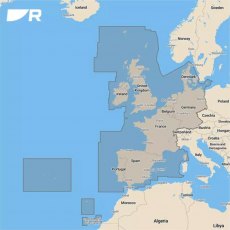
Raymarine LightHouse Chart preloaded with Western Europe Charts
Raymarine Lighthouse Chart: R70794-WEU - Western Europe - SD-Card
Nautical chart coverage area includes Ireland, Great Britain, Portugal, Spain, France, Germany, and Denmark.
Take command with LightHouse Charts Western Europe. Discover visually stunning, customizable marine charts with color-shaded depth contours, data-rich points of interest, and superior clarity that only Raymarine can provide....
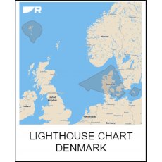
Raymarine LightHouse Charts Preloaded DENMARK
LightHouse Chart - Pre-loaded Denmark | R70794-DEN
Pre-programmed Chart Card for Raymarine AXIOM & ELEMENT Series.
Includes a voucher code for 1 year of LightHouse PREMIUM for Free – (£45.00 per year value).
LightHouse PREMIUM subscription includes chart updates, aerial photography and information on points of interest. Cancel at any time.
Discover visually stunning, customizable...
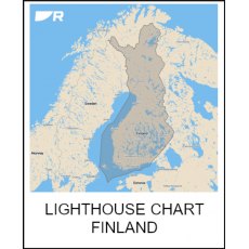
Raymarine LightHouse Charts Preloaded FINLAND
LightHouse Chart - Pre-loaded Finland | R70794-FIN
Pre-programmed Chart Card for Raymarine AXIOM & ELEMENT Series.
Includes a voucher code for 1 year of LightHouse PREMIUM for Free – (£45.00 per year value).
LightHouse PREMIUM subscription includes chart updates, aerial photography and information on points of interest. Cancel at any time.
Discover visually stunning, customizable...
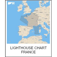
Raymarine LightHouse Charts Preloaded France
LightHouse Chart - Pre-loaded France | R70794-FRA
Pre-programmed Chart Card for Raymarine AXIOM & ELEMENT Series.
Includes a voucher code for 1 year of LightHouse PREMIUM for Free – (£45.00 per year value).
LightHouse PREMIUM subscription includes chart updates, aerial photography and information on points of interest. Cancel at any time.
Discover visually stunning, customizable...
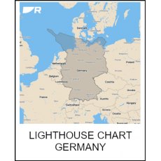
Raymarine LightHouse Charts Preloaded GERMANY
LightHouse Chart - Pre-loaded Germany | R70794-GER
Pre-programmed Chart Card for Raymarine AXIOM & ELEMENT Series.
Includes a voucher code for 1 year of LightHouse PREMIUM for Free – (£45.00 per year value).
LightHouse PREMIUM subscription includes chart updates, aerial photography and information on points of interest. Cancel at any time.
Discover visually stunning, customizable...
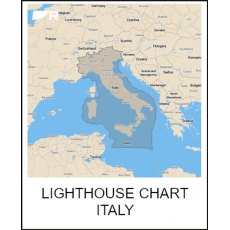
Raymarine LightHouse Charts Preloaded ITALY
LightHouse Chart - Pre-loaded Italy | R70794-ITA
Pre-programmed Chart Card for Raymarine AXIOM & ELEMENT Series.
Includes a voucher code for 1 year of LightHouse PREMIUM for Free – (£45.00 per year value).
LightHouse PREMIUM subscription includes chart updates, aerial photography and information on points of interest. Cancel at any time.
Discover visually stunning, customizable...
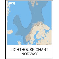
Raymarine LightHouse Charts Preloaded NORWAY
LightHouse Chart - Pre-loaded Norway | R70794-NOR
Pre-programmed Chart Card for Raymarine AXIOM & ELEMENT Series.
Includes a voucher code for 1 year of LightHouse PREMIUM for Free – (£45.00 per year value).
LightHouse PREMIUM subscription includes chart updates, aerial photography and information on points of interest. Cancel at any time.
Discover visually stunning, customizable...
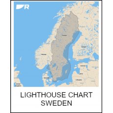
Raymarine LightHouse Charts Preloaded SWEDEN
LightHouse Chart - Pre-loaded Sweden | R70794-SWE
Pre-programmed Chart Card for Raymarine AXIOM & ELEMENT Series.
Includes a voucher code for 1 year of LightHouse PREMIUM for Free – (£45.00 per year value).
LightHouse PREMIUM subscription includes chart updates, aerial photography and information on points of interest. Cancel at any time.
Discover visually stunning, customizable...
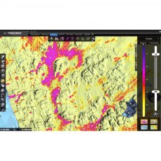
Furuno DFF3D Sounder Module for Timezero Navigator Pro PC Software
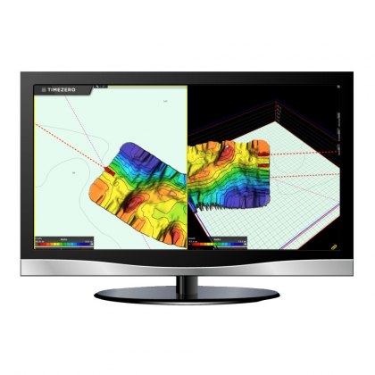
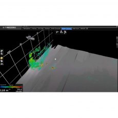
Add on Software Module for TimeZero Navigator Professional. By adding the optional DFF3D Module together with the PBG Module to your TZ Professional software, you can connect this Furuno Multi-Beam Sonar to your computer and unlock powerful integration features. The DFF3D Sonar is the first entry level Multi-Beam Sonar able to reliably create PBG up to 200 meters. This data is sent directly to TZ Professional and used to create a highly-detailed PBG map faster than ever before.
Note: Requires a PC with TimeZero Navigator Professional Software
Furuno TimeZero Bottom Hardness Software Module For TZ Profesional
Bottom type is a key point for fishing. Bottom species usually move according to the bottom type (mud, gravel, sand or rock). By connecting an existing echo sounder to TZ Professional, It will be able to record not only the depth (3D Bathymetric charts) but also the hardness! This will allow the user to deduce the bottom type!
Note: Software Module Only, Requires TZ Profesional & PBG Software Module
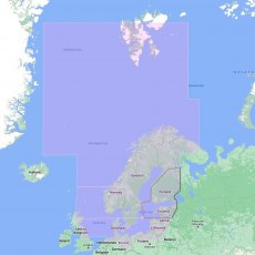
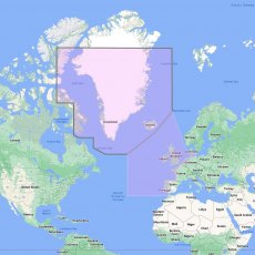
Furuno TimeZero Mega Wide Area Chart: North and Baltic Seas
Raster / Vector High Resolution Satellite Photos High Resolution Tidal Currents Heightfield Bathymetry Charts Sedimentary Charts Altimetry TIMEZERO and Furuno NavNet(3D & TZT) utilize MapMedia .mm3d altimetry to realistically represent the shoreline. The advantages are numerous such as the instantaneous identification of port entries or the identification of specific shoreline features....
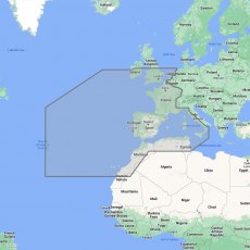
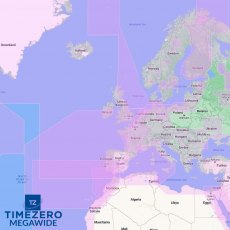
Furuno TimeZero Mega Wide Area Chart: W European Coasts & W Med
Raster / Vector High Resolution Satellite Photos High Resolution Tidal Currents Heightfield Bathymetry Charts Sedimentary Charts Altimetry TIMEZERO and Furuno NavNet(3D & TZT) utilize MapMedia .mm3d altimetry to realistically represent the shoreline. The advantages are numerous such as the instantaneous identification of port entries or the identification of specific shoreline features....
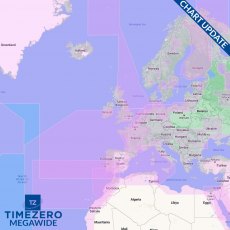
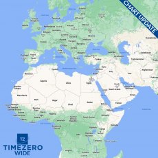
Furuno TimeZero Mega Wide Chart Update
Supplied as an activation code for use on the mytimezero website to activate updates for existing Timezero Mega Wide Charts.
Note: Update only, An existing Timezero Mega Wide Chart is required
How to find your System ID Code:
Press MENU > INITIAL SETUP > Scroll to the bottom of the list and turn CHART MASTER to ON.
Just under CHART MASTER you see System ID Code
Note: If more than one unit is going to be in the system - only one unit should be set as CHART MASTER.
Furuno Timezero Navigator Professional Additional Workstation Licence
Requires an existing TZ Professional license.
Please call with your System ID Code.
How to find your System ID Code:
Press MENU > INITIAL SETUP > Scroll to the bottom of the list and turn CHART MASTER to ON.
Just under CHART MASTER you see System ID Code
Note: If more than one unit is going to be in the system - only one unit should be set as CHART MASTER.
Furuno Timezero Navigator Professional PC Software (No Chart)
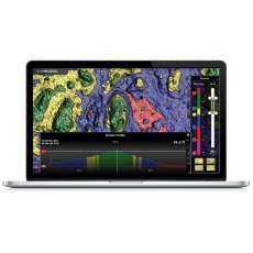
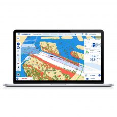
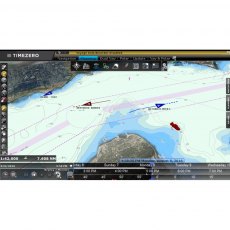
TZ Professional software has been designed to answer the navigation needs and requirements of all professional seafarers. With features that are truly cutting-edge, TIMEZERO software has two main objectives: Supreme control and performance. Discover in this section how TIMEZERO software caters to your needs no matter your activity.
Furuno TimeZero PBG Software Module For TZ Profesional
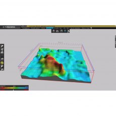
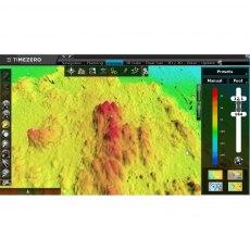
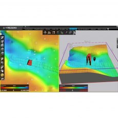
Directly connected to sounder and positioning system, the PBG Module allows TIMEZERO to collect and record in real time depth information transmitted, enabling the creation and update of bathymetric databases with pinpoint accuracy. With a single click, TZ PBG Module will activate to give breathtaking real-time 2D and 3D images of the seabed. It's as easy as that.
Note: Software Module Only, Requires TZ Profesional
Furuno TimeZero Radar Software Module For TZ Navigator
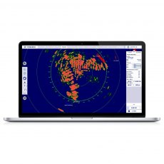
TIMEZERO software offers exclusive, native compatibility (simple Ethernet connection) with all the FURUNO DRS antennas as well as the commercial series of FURUNO FAR radars. The radar image can be overlaid directly on the chart in order to have a better understanding of the data. TIMEZERO offers the ability to take full control of the radar directly from a dedicated workspace (Gain, Seaclutter, Rainclutter, etc.).
Note: Software Module Only, Requires TZ Navigator or TZ Profesional
Furuno TimeZero VDR Software Module For TZ Profesional
The Voyage Data Recorder Module, that comes as an option, offers the possibility to save all the information received from the connected sensors to TZ Professional (GPS, radar and AIS/ARPA). It is particularly useful in the case of an incident as it allows one to look back at all the available information relative to the surrounding environment of the boat at that given date and time.
Note: Software Module Only, Requires TZ Profesional
Furuno TimeZero WASSP Software Module For TZ Profesional
The WASSP Echosounder continuously receives multiple depth readings of the seafloor in a swath up to 3.5 times the depth below and behind the vessel so it can see exactly what is happening on the seafloor and water column in real-time. This data is sent directly to TIMEZERO software and used to create a live, high detail and accurate PBG seabed map. Save time and money by mapping the seafloor faster than ever before.
Note: Software Module Only, Requires TZ Profesional & PBG Software Module
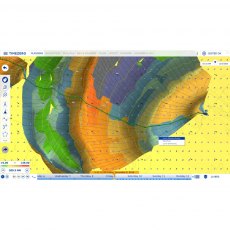
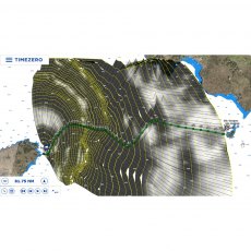
Furuno TimeZero Weather Routing Software Module For TZ Navigator
The Weather Routing module combines with both TZ Navigator and TZ Professional to provide a route that will optimize the time taken to travel on a sailboat using the weather forecast information and the boat's polars.
Note: Software Module Only, Requires TZ Navigator or TZ Profesional
Furuno TimeZero Wide & Mega Wide Area Charts
Raster / Vector
High Resolution Satellite Photos
High Resolution Tidal Currents
Heightfield Bathymetry Charts
Sedimentary Charts
Altimetry
TIMEZERO and Furuno NavNet(3D & TZT) utilize MapMedia .mm3d altimetry to realistically represent the shoreline. The advantages are numerous such as the instantaneous identification of port entries or the identification of specific shoreline...
Furuno Timezero Wide Chart Update
Supplied as an activation code for use on the mytimezero website to activate updates for existing Timezero Wide Charts. Enter the chart area and System ID Code below into the boxes below.
Note: Update only, An existing Timezero Wide Chart is required
How to find your System ID Code:
Press MENU > INITIAL SETUP > Scroll to the bottom of the list and turn CHART MASTER to ON.
Just under CHART MASTER you see System ID Code
Note: If more than one unit is going to be in the system - only one unit should be set as CHART MASTER.
Garmin BlueChart g2 Vision Update Card
Addition of European region: EU717L- East Mediterranean and Black Sea Nautical navigation with high-precision charting Premium mapping features including high-resolution satellite imagery', 3D perspectives above and below the waterline AutoGuidance technology finds the course for navigation Mariner’s eye view provides 3D perspective of chart information above the waterline for a quick, reliable...
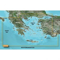
Garmin BlueChart G3 - HXEU015R: Aegean Sea & Sea of Marmara
BlueChart g3 coastal charts provide industry-leading coverage, clarity and detail with integrated Garmin and Navionics data. Also included is Auto Guidance technology, which uses your desired depth and overhead clearance to calculate routes and provide a suggested path to follow — overlaid onto your chart. NOAA raster cartography is also available as a free downloadable feature via the ActiveCaptain app. It gives your chartplotter paper chartlike views of NOAA-surveyed areas in which individual points of interest are labelled with corresponding longitude and latitude information. Worldwide coverage is available by regions as accessory cards or via download; each region is sold separately. Compatable with ECHOMAP™ Plus series chartplotters.
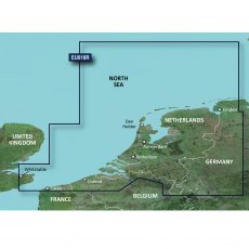
Garmin BlueChart G3 - HXEU018R: Benelux Offshore & Inland Waters
BlueChart g3 coastal charts provide industry-leading coverage, clarity and detail with integrated Garmin and Navionics data. Also included is Auto Guidance technology, which uses your desired depth and overhead clearance to calculate routes and provide a suggested path to follow — overlaid onto your chart. NOAA raster cartography is also available as a free downloadable feature via the ActiveCaptain app. It gives your chartplotter paper chartlike views of NOAA-surveyed areas in which individual points of interest are labelled with corresponding longitude and latitude information. Worldwide coverage is available by regions as accessory cards or via download; each region is sold separately. Compatable with ECHOMAP™ Plus series chartplotters.
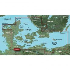
Garmin BlueChart G3 - HXEU021R: Denmark East & Sweden Southeast
BlueChart g3 coastal charts provide industry-leading coverage, clarity and detail with integrated Garmin and Navionics data. Also included is Auto Guidance technology, which uses your desired depth and overhead clearance to calculate routes and provide a suggested path to follow — overlaid onto your chart. NOAA raster cartography is also available as a free downloadable feature via the ActiveCaptain app. It gives your chartplotter paper chartlike views of NOAA-surveyed areas in which individual points of interest are labelled with corresponding longitude and latitude information. Worldwide coverage is available by regions as accessory cards or via download; each region is sold separately. Compatable with ECHOMAP™ Plus series chartplotters.
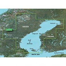
Garmin BlueChart G3 - HXEU047R: Gulf of Bothnia
BlueChart g3 coastal charts provide industry-leading coverage, clarity and detail with integrated Garmin and Navionics data. Also included is Auto Guidance technology, which uses your desired depth and overhead clearance to calculate routes and provide a suggested path to follow — overlaid onto your chart. NOAA raster cartography is also available as a free downloadable feature via the ActiveCaptain app. It gives your chartplotter paper chartlike views of NOAA-surveyed areas in which individual points of interest are labelled with corresponding longitude and latitude information. Worldwide coverage is available by regions as accessory cards or via download; each region is sold separately. Compatable with ECHOMAP™ Plus series chartplotters.
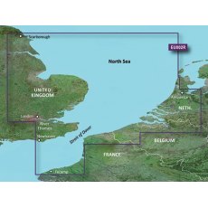
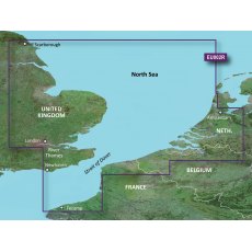
Garmin Bluechart G3 EU002R S/E England-Benelux Inland Waters
EU002R Garmin Bluechart G3 S/E England-Benelux Inland Waters
Unparalleled Coastal Chart Coverage
Provides industry-leading coverage, clarity and detail with updated coastal charts that feature integrated Garmin and Navionics data
Auto Guidance1 technology calculates a route using your desired depth and overhead clearance and provides a suggested path to follow
Includes Depth Range Shading...
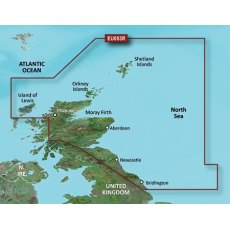
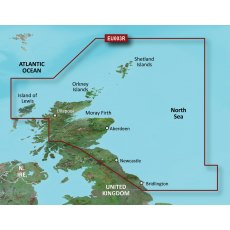
Garmin Bluechart G3 EU003R Great Britain, Northeast Coast
EU003R Garmin Bluechart G3 Great Britain, Northeast Coast
Unparalleled Coastal Chart Coverage
Provides industry-leading coverage, clarity and detail with updated coastal charts that feature integrated Garmin and Navionics data
Auto Guidance1 technology calculates a route using your desired depth and overhead clearance and provides a suggested path to follow
Includes Depth Range Shading...
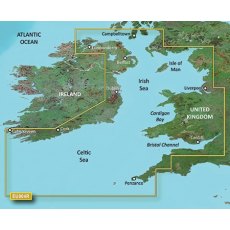
Garmin Bluechart G3 EU004R Irish Sea
EU004R Garmin Bluechart G3 Irish Sea
Unparalleled Coastal Chart Coverage
Provides industry-leading coverage, clarity and detail with updated coastal charts that feature integrated Garmin and Navionics data
Auto Guidance1 technology calculates a route using your desired depth and overhead clearance and provides a suggested path to follow
Includes Depth Range Shading for up to 10 depth ranges,...
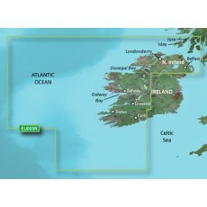
Garmin Bluechart G3 EU005R Ireland, West Coast
EU005R Garmin Bluechart G3 Ireland, West Coast
Unparalleled Coastal Chart Coverage
Provides industry-leading coverage, clarity and detail with updated coastal charts that feature integrated Garmin and Navionics data
Auto Guidance1 technology calculates a route using your desired depth and overhead clearance and provides a suggested path to follow
Includes Depth Range Shading for up to...
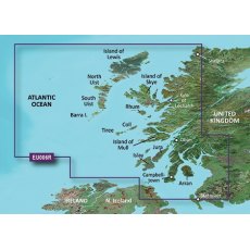
Garmin Bluechart G3 EU006R Scotland, West Coast
EU006R Garmin Bluechart G3 Scotland, West Coast
Unparalleled Coastal Chart Coverage
Provides industry-leading coverage, clarity and detail with updated coastal charts that feature integrated Garmin and Navionics data
Auto Guidance1 technology calculates a route using your desired depth and overhead clearance and provides a suggested path to follow
Includes Depth Range Shading for up to...
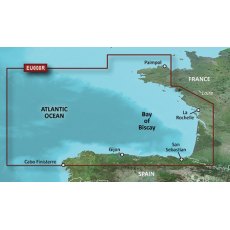
Garmin Bluechart G3 EU008R Bay Of Biscay
EU008R Garmin Bluechart G3 Bay Of Biscay
Unparalleled Coastal Chart Coverage
Provides industry-leading coverage, clarity and detail with updated coastal charts that feature integrated Garmin and Navionics data
Auto Guidance1 technology calculates a route using your desired depth and overhead clearance and provides a suggested path to follow
Includes Depth Range Shading for up to 10 depth...
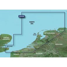
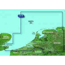
Garmin Bluechart G3 EU018R Benelux Offshore & Inland Waters
EU018R Garmin Bluechart G3 Benelux Offshore & Inland Waters
Unparalleled Coastal Chart Coverage
Provides industry-leading coverage, clarity and detail with updated coastal charts that feature integrated Garmin and Navionics data
Auto Guidance1 technology calculates a route using your desired depth and overhead clearance and provides a suggested path to follow
Includes Depth Range Shading...
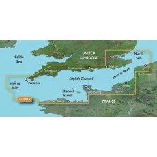
Garmin Bluechart G3 HXEU001R English Channel
EU001R Garmin Bluechart G3 English Channel
Unparalleled Coastal Chart Coverage
Provides industry-leading coverage, clarity and detail with updated coastal charts that feature integrated Garmin and Navionics data
Auto Guidance1 technology calculates a route using your desired depth and overhead clearance and provides a suggested path to follow
Includes Depth Range Shading for up to 10 depth...
Garmin BlueChart G3 Vision - VEU002R: S/E England-Belux Inland Waters
Experience unparalleled coverage and brilliant detail when you're on the water. BlueChart G3 Vision coastal charts provide industry-leading coverage, clarity and detail with integrated Garmin and Navionics content. Compatable with the Garmin GPSMAP and ECHOMAP series Chartplotters.
Garmin BlueChart G3 Vision - VEU003R: Great Britain, Northeast Coast
Experience unparalleled coverage and brilliant detail when you're on the water. BlueChart G3 Vision coastal charts provide industry-leading coverage, clarity and detail with integrated Garmin and Navionics content. Compatable with the Garmin GPSMAP and ECHOMAP series Chartplotters.
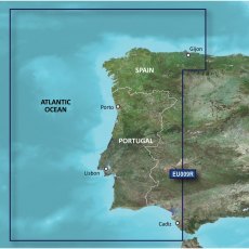
Garmin BlueChart G3 Vision - VEU009R: Portugal & Northwest Spain
Experience unparalleled coverage and brilliant detail when you're on the water. BlueChart G3 Vision coastal charts provide industry-leading coverage, clarity and detail with integrated Garmin and Navionics content. Compatable with the Garmin GPSMAP and ECHOMAP series Chartplotters.
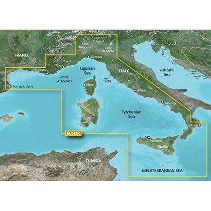
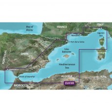
Garmin BlueChart G3 Vision - VEU010R: Spain, Mediterranean Coast
Experience unparalleled coverage and brilliant detail when you're on the water. BlueChart G3 Vision coastal charts provide industry-leading coverage, clarity and detail with integrated Garmin and Navionics content. Compatable with the Garmin GPSMAP and ECHOMAP series Chartplotters.
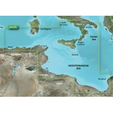
Garmin BlueChart G3 Vision - VEU013R: Italy Southwest & Tunisia
Experience unparalleled coverage and brilliant detail when you're on the water. BlueChart G3 Vision coastal charts provide industry-leading coverage, clarity and detail with integrated Garmin and Navionics content. Compatable with the Garmin GPSMAP and ECHOMAP series Chartplotters.
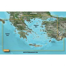
Garmin BlueChart G3 Vision - VEU015R: Aegean Sea & Sea of Marmara
Experience unparalleled coverage and brilliant detail when you're on the water. BlueChart G3 Vision coastal charts provide industry-leading coverage, clarity and detail with integrated Garmin and Navionics content. Compatable with the Garmin GPSMAP and ECHOMAP series Chartplotters.
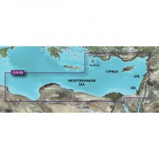
Garmin BlueChart G3 Vision - VEU016R: Mediterranean Southeast
Experience unparalleled coverage and brilliant detail when you're on the water. BlueChart G3 Vision coastal charts provide industry-leading coverage, clarity and detail with integrated Garmin and Navionics content. Compatable with the Garmin GPSMAP and ECHOMAP series Chartplotters.
Garmin BlueChart G3 Vision - VEU018R: Benelux Offshore & Inland Waters
Experience unparalleled coverage and brilliant detail when you're on the water. BlueChart G3 Vision coastal charts provide industry-leading coverage, clarity and detail with integrated Garmin and Navionics content. Compatable with the Garmin GPSMAP and ECHOMAP series Chartplotters.


