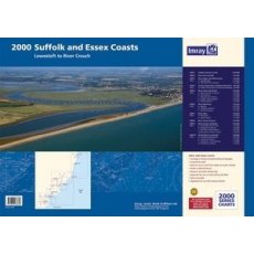
Imray 2000 Suffolk and Essex Chart Pack - Lowestoft to River Crouch
A pack of 10 charts for the Suffolk and Essex Coasts which includes:
A convenient A2 format chart pack of Suffolk and Essex Coasts covering the waters from the River Crouch to Lowestoft. The pack is provided in a sturdy plastic wallet.
This fully revised and extended edition of our popular 2000 Suffolk and Essex Coasts chart pack has been redesigned and expanded to 11 sheets, including improved...
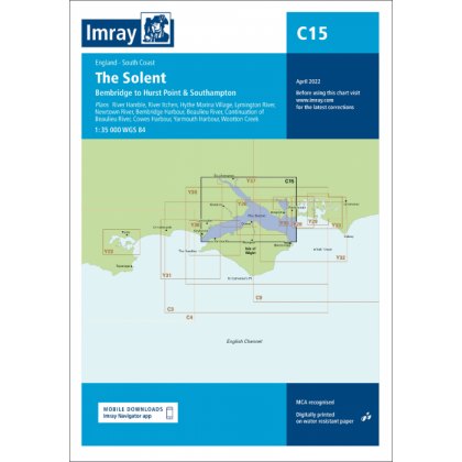
Imray C15 The Solent Chart Pack Edition 2024
Covering one of the most popular sailing areas in Britain, The Solent chart provides all the information needed for planning and navigating this stretch of water.
This edition includes the latest official data from the UKHO combined with additional information sourced from Imray's network to make it ideal for small craft.
New: Vessel Traffic Services (VTS) reporting points
Imray charts for...
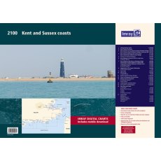
Imray 2100 Kent and Sussex Coasts Chart Pack
Thames Estuary to the Solent
Imray
A pack of 8 charts for the Kent and Sussex Coasts.
Imray C15 The Solent Chart Pack Edition 2018
Covering one of the most popular sailing areas in Britain, The Solent chart provides all the information needed for planning and navigating this stretch of water.
This edition includes the latest official data from the UKHO combined with additional information sourced from Imray's network to make it ideal for small craft.
New: Vessel Traffic Services (VTS) reporting points
Imray charts for...
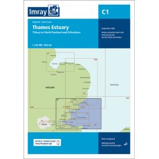
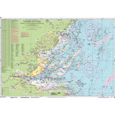
Imray C1 Thames Estuary Chart
Imray C charts offer coverage for cruising yachtsmen on larger size sheets.
They are suitable for offshore passage making and the medium scales chosen also allow safe inshore navigation.
Imray C1: Tilbury to North Foreland and Orfordness. (This chart includes the New Sunk TSS off Harwich)
Format: Sheet size 787 x 1118mm. Waterproof. Folded in plastic wallet.
Scale: 1:120000
Imray C3 Isle of Wight Chart April 2022
Imray C charts offer coverage for cruising yachtsmen on larger size sheets.
They are suitable for offshore passage making and the medium scales chosen also allow safe inshore navigation.
Imray C3 Isle of Wight and Solent.
Format: Sheet size 787 x 1118mm. Waterproof. Folded in plastic wallet.
Scale: 1:52500
Plans included:
Lymington River (1:17 500)
River Hamble (1:20 000)
Bembridge Harbour (1:20 000)
Continuation...
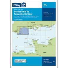
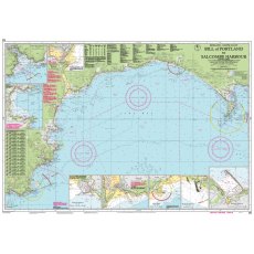
Imray C5 Bill of Portland to Salcombe Harbour Chart Edition 2023
Imray C charts offer coverage for cruising yachtsmen on larger size sheets.
They are suitable for offshore passage making and the medium scales chosen also allow safe inshore navigation.
Imray C5 Bill of Portland to Salcombe Harbour
Format: Sheet size 787 x 1118mm. Waterproof. Folded in plastic wallet
Scale: 1:100000
Plans included:
Bridport Harbour (1:5000)
Lyme Regis (1:10 000)
Exmouth (1:32 500)
Teignmouth...
Imray C34 Cap d'Erquy to Ile de Batz Edition 2014
Imray C charts offer coverage for cruising yachtsmen on larger size sheets.
They are suitable for offshore passage making and the medium scales chosen also allow safe inshore navigation.
C34 Cap d'Erquy to Ile de Batz 1:110,000 WGS 84 By: Imray
Plans
Primel,
R. Le Leguer,
Trebeurden,
Ploumanac'h,
Anse de Perros,
Perros-Guirec,
Port Blanc,
R. de Treguier,
R. de Trieux and Paimpol,
Lezardrieux,
St-Quay...
Imray Y6 Foulness Point to Harwich
This chart is a replica of Imray chart 2000.1 covering coastal navigation from Foulness Point to Harwich. It is printed on water resistant paper.
This sheet was reschemed for the 2022 edition. It includes the latest official UKHO data, combined with additional information sourced from Imray's network to make it ideal for small craft. The chart has been fully revised throughout.
Format: Sheet...
Imray Y7 Thames Estuary South April 2023
This edition includes the latest official UKHO data combined with additional information sourced from Imray's network to make it ideal for small craft. It includes the latest official bathymetric surveys. There has been general updating throughout.
Format: Sheet size 590 x 420mm. Folded in plastic wallet.
Scale: 1:120000
Imray Y16 Walton Backwaters to Ipswich and Woodbridge April 2021
Ongoing works at the Port of Felixstowe are shown, as are the marina developments at Woolverstone. Detail on the Fox’s Marina and Tide Mill Yacht Harbour plans has been redrawn for a more accurate representation, and the Shotley Marina plan has been extended.
Format: Sheet size 640 x 900mm. Waterproof. Folded in plastic wallet.
Scale: 1:35000
Plans included:
River Orwell continuation to Ipswich...
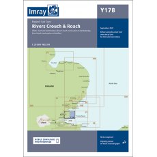
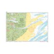
Imray Y17B The Rivers Crouch and Roach
Chart Y17 has been withdrawn and replaced by two new charts for 2022, providing coverage of Rivers Colne & Blackwater (Y17A) and Rivers Crouch & Roach (Y17B) at an improved larger scale.
This chart covers the Rivers Crouch & Roach and their approaches. It includes the latest official UKHO data, combined with additional information sourced from Imray's network to make it ideal for...
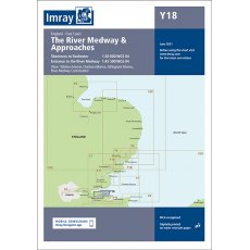
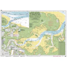
Imray Y18 The River Medway and Approaches June 2021
The River Medway and Approaches Sheerness to Rochester and River Thames Sea Reach
Format: Sheet size 640 x 900mm. Waterproof. Folded in plastic wallet.
Scale: 1:20000
Includes inset of River Thames Sea Reach (1:55 000)
Plans included:
Whitton Marine (1:6000)
Port Werburgh (1:6000)
Gillingham Marina (1:10 000)
River Medway Continuation (1:25 000)
Imray 2000.2 Rivers Ore and Alde Edition 2015
The Imray 2000 chart series is a range of handy-sized charts ideal for use on small chart tables and in open cockpits. These charts are at convenient scales and are clearly edited. Printed in colour on water-resistant paper & correctable.
Imray 2000.2 (Ed 2015 To Clear)
Small format A2 size – 594mm x 420mm
Folded to A4 size with a plastic wallet
Water-resistant Pretex paper
Yeoman...
Imray 2100.4 River Medway Edition 2015
The Imray 2100 chart series is a range of handy-sized charts ideal for use on small chart tables and in open cockpits. These charts are at convenient scales and are clearly edited. Printed in colour on water-resistant paper & correctable.
Imray 2100.4 (Ed 2015 To Clear)
Small format A2 size – 594mm x 420mm
Folded to A4 size with a plastic wallet
Water-resistant Pretex paper
Yeoman...
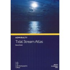
Admiralty NP233 Dover Strait Tidal Stream Atlas
ADMIRALTY
TIDAL STREAM ATLAS
DOVER STRAIT
NP233
3rd Edition
1995
Admiralty NP249 Thames Estuary Tidal Stream Atlas
ADMIRALTY
TIDAL STREAM ATLAS
THAMES ESTUARY
NP249
2nd Edition
1985
Admiralty 5011 Symbols And Abbreviations Used On Admiralty Charts
NP5011 8th Edition 2020
Gives details on symbols and abbreviations used on the worldwide range of ADMIRALTY charts, and international Chart Series Paper Charts. It also contains information on hydrography, topography and navigational aids and services.