
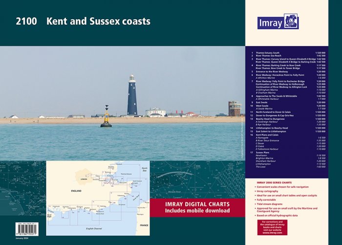
Imray 2100 Kent and Sussex Coasts Chart Pack

MPN: YOT0851
Thames Estuary to the Solent Imray A pack of 8 charts for the Kent and Sussex Coasts.
Product Description
A handy-sized A2 pack of charts covering the Kent and Sussex coasts.
This fully revised edition includes the latest official UKHO data combined with additional information sourced from Imray''s network to make it ideal for small craft.
2100.1
Thames Estuary South (1:120 000)
2100.2
River Thames Sea Reach (1:42 500)
2100.3
River Thames - Canvey Island to Queen Elizabeth II Bridge (1:42 500)
River Thames - Queen Elizabeth II Bridge to Barking Creek (1:42 500)
2100.4
River Thames - Barking Creek to Bow Creek (1:17 500)
River Thames - Bow Creek to Tower Bridge (1:17 500)
2100.5
Entrance to the River Medway (1:20 000)
2100.6 River Medway: Horseshoe Point to Folly Point (1:20 000)
Plan Whitton Marine (1:6000)
2100.7
River Medway: Folly Point to Rochester Bridge (1:20 000)
Continuation of River Medway to Holborough (1:25 000)
Continuation of River Medway to Allington Lock (1:25 000)
Plans Gillingham Marina (1:10 000), Chatham Marina (1:10 000)
2100.8
Approaches to The Swale & Whitstable (1:42 500)
Plan Whitstable Harbour (1:7000)
2100.9
East Swale (1:20 000)
2100.10 West Swale (1:20 000)
Plan Swale Marina (1:7500)
2100.11
North Foreland to Dover & Calais (1:120 000)
2100.12
Dover to Dungeness & Cap Gris-Nez (1:120 000)
2100.13
Beachy Head to Dungeness (1:120 000)
Plans Sovereign Harbour (1:20 000), Rye Harbour (1:35 000) 2100.14 Littlehampton to Beachy Head (1:120 000)
2100.15
East Solent to Littlehampton (1:120 000)
2100.16
Plans Ramsgate (1:6500), River Stour Entrance (1:35 000), Dover (1:15 000), Calais (1:20 000), Folkestone Harbour (1:10 000)
2100.17
Plans Newhaven (1:16 500), Brighton Marina (1:8500), Shoreham Harbour (1:20 000), Littlehampton (1:13 500), The Looe (1:60 000)
Collect in Store
This item is available for collection.
People who bought this also bought...