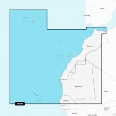
Garmin Navionics Vision+ Chart: AF004R - Africa, Northwest
Coastal coverage of the northwest coast of Africa from St Louis, Senegal to Rabat, Morocco. Detailed coverage of the Azores, Madeira, the Canary Islands, the Cape Verde Islands and the ports of Rabat and Casablanca, Morocco are included.
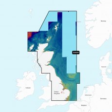
Garmin Navionics Vision+ Chart: EU003R - Great Britain, NE Coast
Coastal coverage of the northeast coast of Great Britain from the mouth of the Thames to the Isle of Lewis including the Orkney Islands, the Shetland Islands and North Sea offshore charts. Coverage includes areas such as the Caledonian Canal, Loch Linnhe, Loch Ness, Edinburgh and London. Supplied on a SD-Card (Micro SD With SD-Card Adapter).
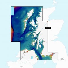
Garmin Navionics Vision+ Chart: EU006R - Scotland, West Coast
Coastal coverage of the western coast of Scotland from Cape Wrath to Solway Firth including the Isles of Lewis, Skye, Mull, Islay and many others. Also included is coverage of Northern Ireland from Londonderry to Belfast and Lough Neagh. Supplied on a SD-Card (Micro SD With SD-Card Adapter).
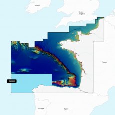
Garmin Navionics Vision+ Chart: EU008R - Bay of Biscay
Coastal coverage of the Atlantic coast of Europe from Dunkirk, France to A Coruna, Spain including the Channel Islands and the ports of Le Havre, Brest, Nantes, Saint-Nazaire and Bordeaux in France and Bilbao and Gijon in Spain. Supplied on a SD-Card (Micro SD With SD-Card Adapter).
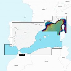
Garmin Navionics Vision+ Chart: EU010R - Spain, Mediterranean Coast
Detailed coverage of the Mediterranean coast from Lagos, Portugal to La Spezia, Italy including the Gulf of Cadiz, Corsica, the Balearics, Gibraltar and the coast of Africa from Annaba, Algeria to Tangier, Morocco. Coverage includes the ports of Algeciras, Malaga, Cartagena, Valencia and Barcelona in Spain; Marseille and Nice in France; Monaco; Genoa, Italy and Algiers, Algeria. Supplied on a SD-Card (Micro SD With SD-Card Adapter).
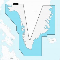
Garmin Navionics Vision+ Chart: EU064R - Greenland
Detailed coverage of the coast of Greenland from Thule (Qaanaaq) on the west coast around the southern tip of Greenland to Germania Land on the east coast. Also details Ikerasak, Holsteinsborg (Sisimiut), Godhavn (Qeqertarsuaq), Godthab (Nuuk), Julianehab (Qaqortoq), Jameson Land, Ammassalik and Nanortalik. Supplied on a SD-Card (Micro SD With SD-Card Adapter).
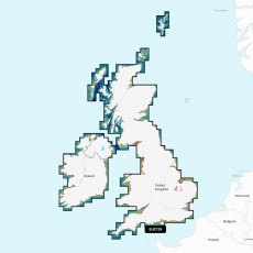
Garmin Navionics Vision+ Chart: EU072R - UK & Ireland Lakes & Rivers
Detailed coverage of major lakes and rivers of the UK and Ireland. Coverage includes the Thames, Medway, Mersey, Avon and Tweed Rivers in the UK and the Shannon River in Ireland. Lake coverage includes Lock Ness, Loch Lochy and Lough Neagh in the UK. Supplied on a SD-Card (Micro SD With SD-Card Adapter).
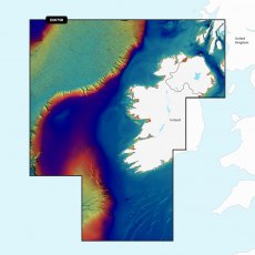
Garmin Navionics Vision+ Chart: EU075R - Ireland, West Coast
Coastal coverage of the north and western coasts of Ireland from Cork to Belfast including the entire Shannon Inland and Shannon-Erne Waterways, Galway Bay and Lough Neagh. Also included is the southwestern Scottish coast from Colonsay to Campbelltown. Supplied on a SD-Card (Micro SD With SD-Card Adapter).
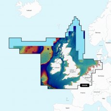
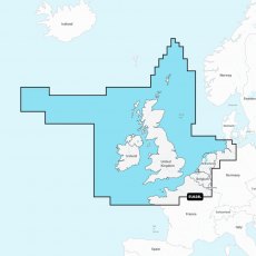
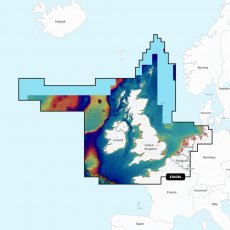
Garmin Navionics Vision+ Chart: EU628L - U.K., Ireland & Holland
Detailed coverage of the UK, Ireland and the North Sea and English Channel coasts. Coverage includes the Shetland Islands, Orkney Islands, Isle of Man, Isle of Wight, the Isles of Scilly, the Channel Islands, the Thames River, the IJsselmeer, the Waddenzee and the Kiel Canal. Ports include London, Liverpool, Southampton, Edinburgh and Belfast, UK; Dublin and Cork, Ireland; Brest, Le Havre, Calais and Dunkirk, France; Antwerp, Belgium; Amsterdam and Rotterdam, The Netherlands; Bremerhaven, Hamburg and Kiel, Germany. Supplied on a SD-Card (Micro SD With SD-Card Adapter).
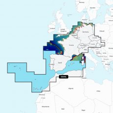
Garmin Navionics Vision+ Chart: EU646L - Europe, Central & West
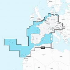
Detailed coverage of central and western Europe. Coverage includes the European coast from the Szczecin Lagoon to Monaco; the Azores; Madeira; the Canary Islands; the Balearics; Corsica and Sardinia; Gibraltar, the English Channel; the Channel Islands; the IJsselmeer; the rivers of France, Germany and the Low Countries; Lakes Maggiore, Como, Garda, Geneva, Constance and Balaton. Supplied on a SD-Card (Micro SD With SD-Card Adapter).
Garmin Navionics+ & Vision+ UK, Ireland & Holland EU628L
Detailed coverage of the UK, Ireland and the North Sea and English Channel coasts. Coverage includes the Shetland Islands, Orkney Islands, Isle of Man, Isle of Wight, the Isles of Scilly, the Channel Islands, the Thames River, the IJsselmeer, the Waddenzee and the Kiel Canal. Ports include London, Liverpool, Southampton, Edinburgh and Belfast, UK; Dublin and Cork, Ireland; Brest, Le Havre, Calais and Dunkirk, France; Antwerp, Belgium; Amsterdam and Rotterdam, The Netherlands; Bremerhaven, Hamburg and Kiel, Germany. Supplied on a SD-Card (Micro SD With SD-Card Adapter).
Garmin Navionics+ & Vision+ Europe, Central & West EU646L
Detailed coverage of central and western Europe. Coverage includes the European coast from the Szczecin Lagoon to Monaco; the Azores; Madeira; the Canary Islands; the Balearics; Corsica and Sardinia; Gibraltar, the English Channel; the Channel Islands; the IJsselmeer; the rivers of France, Germany and the Low Countries; Lakes Maggiore, Como, Garda, Geneva, Constance and Balaton. Supplied on a SD-Card (Micro SD With SD-Card Adapter).
Garmin Navionics+ & Vision+ Mediterranean & Black Sea EU643L
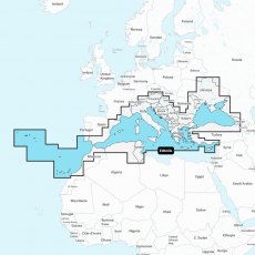
Detailed coverage of the Mediterranean and Black Seas. Coverage includes the Azores, Madeira, the Canary Islands, Gibraltar, the Balearic Islands, Corsica, Sardinia, Sicily, Malta, Crete, Cyprus, the Dardanelles, the Bosporos, the Sea of Azov, the Dneiper River to the Kyivs'ke Reservoir, the Danube River to Passau, Germany, Lake Balaton, Lake Garda, Lake Como and Lake Maggiore. Ports include Cadiz and Barcelona, Spain; Monaco; Marseille and Toulon, France; Genoa, Naples, Taranto and Venice, Italy; Istanbul, Turkey; Odessa, Ukraine; Tunis, Tunisia and Algiers, Algeria. Supplied on a SD-Card (Micro SD With SD-Card Adapter).


