Best Selling
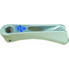
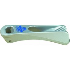
Camcleat Cobra Cleat Silver
Cobra Cleat Hard Anodised - Loose
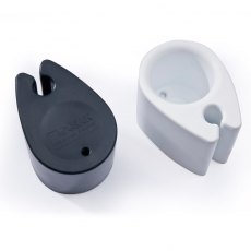
Camcleat Mini Line-Lok® Black
Mini Line-Lok® Black
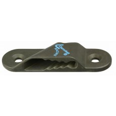
Camcleat Racing Sail Line (Port) Hard Anodised + Backplate
Nylon Insert Cleat with Fairlead - Loose
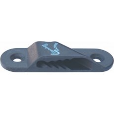
Camcleat Racing Sail Line (Starboard) Hard Anodised + Backplate
Open Micros - Loose
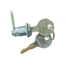
Camlock Hatch Lock Stainless Steel 12mm
Stainless Steel Camlock Hatch Lock
Cam locks with 180°
An ideal lock for plastic hatches
12mm Thickness
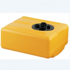
CAN-SB Plastic Black Grey Waste Water Tank 28Ltr
28Ltr Black Waste Water Tank
Low profile plastic black/grey water waste tanks in high-density polyethylene.
Specially constructed to prevent smells permeating through the walls of the tank while holding black or grey waste on board.
These waste tanks are supplied with inspection plate with threaded connections for inlet, outlet, breather and also a fitting point for a level indicator.
L450mm...
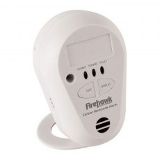
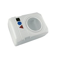
Carbon Monoxide Alarm Firehawk Co7B
This compact carbon monoxide detector and alarm contains a sealed in battery with a 7 year life, and can be bulkhead mounted or used free-standing on the included base. It will emit a loud alarm when it detects carbon monoxide, even at levels as low as 30ppm. It is also small enough to be used when travelling to give protection from faulty appliances wherever you are.
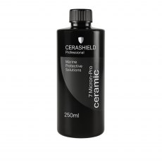
CeraShield 7 Micron Ceramic Coating
CeraShield 7 Micron coating solution protects smooth, non absorbent surfaces against salt spray, acid rain staining, UV & weathering.
7 Micron forms a permanent barrier layer that bonds chemically with the substrate curing at room temperature and atmospheric humidity.
A surface protected with CS 7 Micron can be cleaned repeatedly without degrading the coating.
CeraShield 7 Micron is...
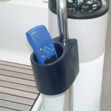
Clip On Foam Cockpit Can Bottle VHF Holder
Unique and useful accessory ideal for holding and keeping cool cans, small bottles and glasses. It also can be used as an object holder for Mobile phones, eye glasses, portable VHF and GPS. Flexible integral skin foam technology. Can be clipped on all guardrails, pulpit and stanchion.
Ideal for rails range from 22 to 26mm
Dimensions:
Length: 130mm
Width: 90mm
Height: 100mm
Weight:...
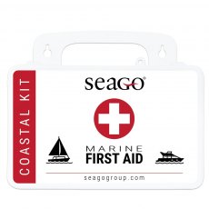
Coastal Marine First Aid Kit
COASTAL FIRST AID KIT
A well equipped medical kit for day-to-day use on larger vessels that are not commercial.
Dimension: 25cm x 18xm x 8cm
Colour: White
Coastal kit contents:
1 - Bandage Conforming (10cm x 4m)
1 - Triangular bandage
1 - Eye pad dressing
1 - HSE Large dressing (18cm x 18cm)
1 - HSE Medium dressing (12cm x 12cm)
1 - Eye wash, pod (15ml)
1 - Tweezers
1...
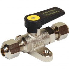
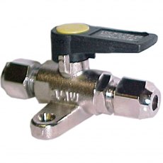
Compression Ball Valve Foot Mount 5/16" x 5/16"
A range of mini gas ball valves with integral foot mount. These valves are designed for pipe to pipe applications or hose to copper pipe with an integral foot mount for a secure hold without additional pipe supports. All come complete with nuts and brass olives.
• For use with propane, butane, natural gas and diesel oil.
Technical Specifications
• Body material: forged brass nickel...
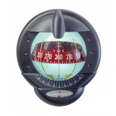
Contest 101 Compass-10-25 Degree Tilted Bulkhead-Black (Red Card)
Sailboats 9 m and above (30 ft +).The No. 1 sailboat compass worldwide: double reading, large crisp card, and great looks in the cockpit.Contest 101 is the benchmark compass in the Plastimo range: millions of yachtsmen worldwide keep on the right course with their Contest compass.Its exclusive mounting possibilities allow installation on all bulkheads, whatever the thickness.
Double reading: invented...
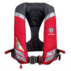
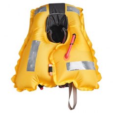
Crewsaver Crewfit 150N HF
The Crewfit 150N HF combines the very best in design, performance and comfort. The ergonomic Fusion 3D shape, High Fit profile and twin waist adjusters allow for easy donning, freedom of movement and ensures maximum comfort even during long periods of use.
Heavy duty 500D front panels provide excellent durability for the working marine markets, whilst fabric shoulder panels retain a comfortable...
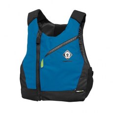
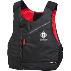
CREWSAVER Pro 50N Chest Zip Buoyancy Aid
Product details
Year: 2024Model: 2630Colour: Black/Red
Crewsaver Pro 50N Chest Zip Buoyancy Aid
A Fusion 3D design buoyancy aid with unique body shaping foam that adapts to the profile of the wearer for the ultimate in unrestricted comfort and performance. Breathable airflow mesh is featured on the internal back panel to allow for less build up of heat and greater comfort. The durable cover...
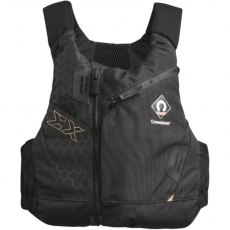
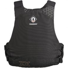
Crewsaver Pro 50N EX Buoyancy Aid
Product details
Year: 2024Model: 2640Colour: Black/Bronze
The Pro 50N EX buoyancy aid is designed to meet the demands of multiple watersports. A versatile solution, enabling you to personalise it to suit your activity. Fitted with multiple accessory mount loops and a dedicated knife pocket for safety, this buoyancy aid is ideal for instructors and sailors alike.
A large, easy to reach expandable...
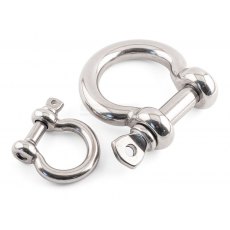
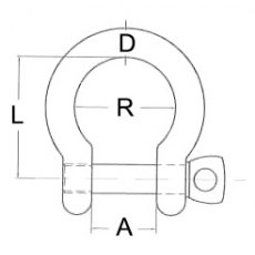
D Shackle - Bow A4 Stainless Steel
Product Description
Bow shaped shackles with a removable collared pin, often used in lifting and rigging systems.
Material
316 / A4 Stainless Steel
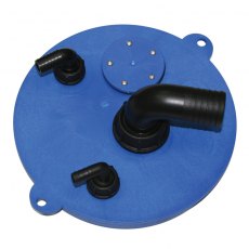
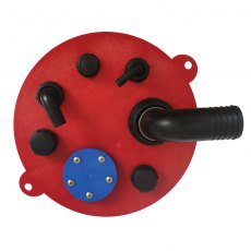
DIABLO Easy Switch Plates Fuel Waste Water
Fresh water hatch with gasket.
Includes:
90° inlet, 38 mm diam., thread 1 ½”
90° vent, 17 mm diam., thread 3 / 4 “
90° suction, 10 mm diam., thread ½”
Fuel hatch with gasket, complete with:
- Connector 90°, Ø38 mm, 1½” thread
- Connector 90°, Ø17 mm, 3/4” thread
- Connector 90°, Ø11...
DIABLO Smart Tank Water Waste Fuel
DIABLO line of horizontal tanks is made of recyclable HDPE material, consisting of a full range of 10 models complying with international standards.
DIABLO can be used for fuels such as gasoline, diesel, ethanol, alternative fuels and organic vegetable oils. It can be also used for either fresh or waste water. The advantage of this line of tanks is the ‘EASY SWITCH’ plate, which can...
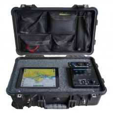
Digital Yacht AIS Deploy Portable Class A AIS/NAV System
AIS Deploy is a portable, self contained, highly rugged Class A AIS transponder system supplied with GPS and VHF antennas and an integrated 12v DC rechargeable battery. In addition to the Class A dedicated controller (MKD), it features a wireless interface to allow tablets and iPads to display data on a wide range of compatible apps.
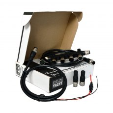
Digital Yacht Cabling Starter Kit NMEA 2000
A simple and low-cost NMEA 2000 starter kit which allows for up to 3 devices to interconnect.
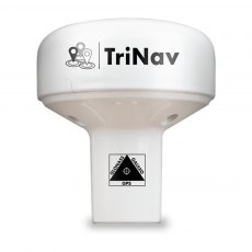
Digital Yacht GPS160F with Furuno Data Output
Digital Yacht have introduced a specific version of the GPS160 which is a simple replacement for older Furuno plotter and GPS systems.
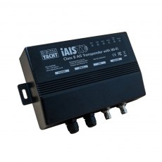
Digital Yacht iAISTXPL+ Class B Wireless and NMEA 2000 Transponder
iAISTX Plus is an AIS transponder with Wi-Fi interface for tablet & PC navigation and also has a NMEA 2000 interface (with integral drop cable) to integrate with modern plotters, instruments and multi-function displays to provide AIS functionality.
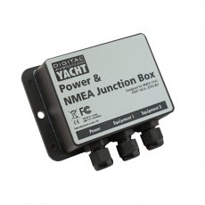
Digital Yacht JB1 NMEA0183 & Power Junction Box
The JB1 is a simple way to interconnect NMEA 0183 products and ideal for DIY installation.
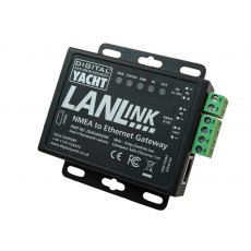
Digital Yacht Lanlink NMEA 0183 to Ethernet Gateway
LANLink is a NMEA 0183 to ethernet gateway which enables the boat’s NMEA data to integrate onto a router network – allowing connected devices and apps to take advantage of the data.
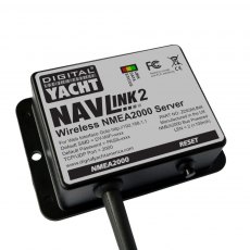
Digital Yacht Navlink 2 Nmea 2000 To Wifi Gateway
NavLink 2 is an easy to fit NMEA2000 to WiFi server designed to make NMEA2000 navigation data available for apps on smartphones, tablets, iPads and PCs.
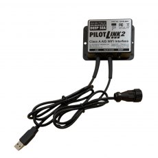
Digital Yacht PilotLink2 Class A AIS Wireless Interface
The PilotLINK 2 allows Class A transponders to interface with the latest range of mobile devices including iPhones, tablets and PCs/MACs. Applications range from maritime pilots through to survey ship charter users who may want access to the ship’s AIS and GPS data.
Dometic Thermo Mug 45 Lagune
Thermally-insulated mug, 450 ml
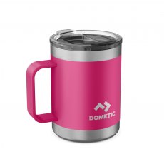
Dometic Thermo Mug ORCHID
This double-walled, vacuum sealed thermally-insulated mug keeps your morning coffee or tea hot for longer than your porcelain mug at home. Made from durable stainless steel, it is virtually indestructible. The convenient handle gives you the familiar ?coffee mug feeling?. The transparent screw-in lid avoids spills when you are moving around. All components are easy to clean and dishwasher-safe.
Drain Socket, Diaphragm and Expanding Drain Plug 42mm
Drain Socket, Diaphragm and Expanding Drain Plug 42mm
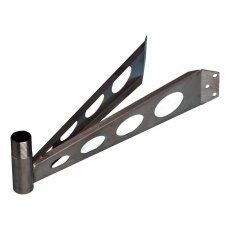
Echomax Mast Mount for Active X
Offset mast head bracket for Active-X Antenna
## Not suitable for use with the Active-XS Antenna - for that antenna please use the XS Ocean Mast Bracket ##
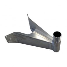
Echomax Ocean Mast Mount for Active XS
ACTIVE-XS Mast head bracket made from 1.5mm 316 stainless steel .
Overall length 188mm.
Distance from centre of threaded mount to curvature of mast 135mm approx.
Em-Trak SART100 AIS Search & Rescue Transponder IMO-SOLAS Certified
Be ready for anything. Engineered for reliability the em-trak SART100 is a IMO-SOLAS certified AIS search and rescue transponder.
This market-leading search and rescue transponder can be stored for years, and when needed, can be instantly activated to transmit an emergency transmission to all AIS equipped vessels including coastguard and aircraft, allowing them to pinpoint your exact location.
The...
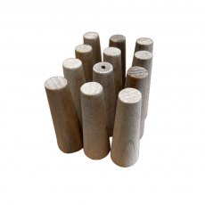
Emergency 3 Piece Wooden Plug Set
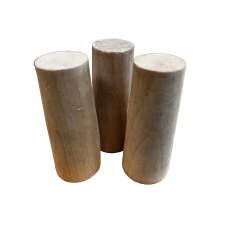
Emergency 3 Piece Wooden Plug or Bung Set
Set of 3 tapered wooden bungs to meet RORC requirements which will plug holes in the hull, skin fittings and pipes in the event of an emergency.
3 x 110mm tall, 50mm tappered to 35mm
Emergency 6 Piece Wooden Plug Set
Emergency 6 Piece Wooden Plug or Bung Set
Set of 6 tapered wooden bungs to meet RORC requirements which will plug holes in the hull, skin fittings and pipes in the event of an emergency.
6 x 60mm tall, 20mm tappered to 10mm
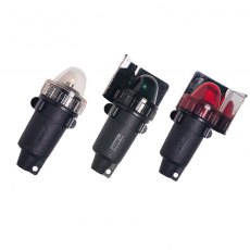
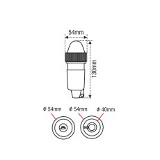
Emergency Navigation Light Set
EMERGENCY Navigation Light
EMERGENCY waterproof navigation lights are ideal for use on small crafts, inflatable boats, kayaks, or as emergency lighting in larger boats. All portable emergency lights can be used when conventional
lights are not suitable for the vessel or when they are not operating. They are available with external light reflectors. Standard alkaline batteries (D cell) are needed...
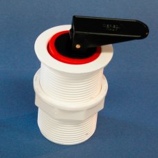
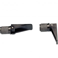
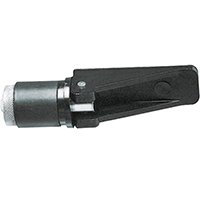
Expanding Drain Plug with Lever 42mm
Expanding Drain Plug with Lever 42mm
Expanding Drain Plugs
Nuova Rade Expanding Drain Plug.
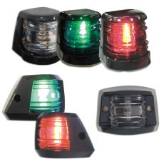
FAROS 7 Port - Starboard - Stern - Masthead - Bicolor Lights
FAROS 7 series of navigation lights includes masthead, starboard, port and stern lights, ideal for powerboats up to 7m. They lights are waterproof, non-corrosive and non-magnetic. They are mounted on
the surfaces with wall plugs. Navigation lights with wall plug have the advantage that they are much easier to mount and you only need to open one hole. This range is provided with a two sided adhesive
tape...
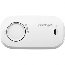
FireAngel Carbon Monoxide Alarm 1 Year Replaceable Battery (2x AA)
FireAngel FA3313 carbon monoxide alarm is supplied complete with a 10 Year life sensor, two replaceable AA batteries, base plate and fixings. This CO alarm is suitable for use in rooms that contain appliances burning fuel.
Suitable for use caravans, motor homes and recreational craft (boats).
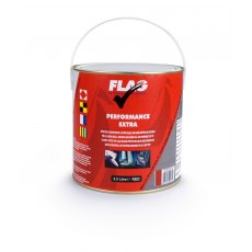
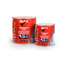
FLAG Performance Extra Antifouling 2.5L
Flag PERFORMANCE Antifoul 2.5L is a copper based, semi-hard antifouling suitable for craft capable of speeds upto around 40 knots.
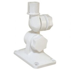
Four way antenna ratchet mount, two knobs
This ratchet mount antenna is made of reinforced nylon and may be fixed to the deck or bulkhead of your boat. It allows you to adjust the antenna in several positions either vertically or horizontally. Set the antenna at the position of your preference and lock its position manually. A special rift on the top of the antenna is appropriate for coaxial and GPS cables. It is available in white colour.
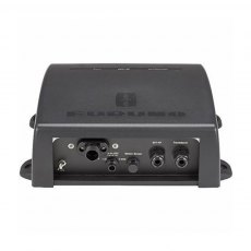
Furuno DFF-3D 800W Multi-Beam Black Box Sounder
Tx Frequency: 165 kHz Output Power: 800 W Minimum Range: 3 m Basic Range: 5-1200m Detection Range: 200 m* (Side Beam Best Performance) 300 m* (Main Beam Directly Under Boat) *Depending on bottom", water and installation. Beam Angle For Triple Beam Sounder: 20° - 50° from right under Display Mode: Triple/Single Beam Sounder, Side Scan, Cross Section," 3D Sounder History <a class=""pagebuilder-button-primary""...
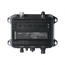
Furuno FA-40 AIS Receiver (Clearance)
The FA-40 delivers "Real-Time" AIS information to navigation systems providing critical collision avoidance information in all weather conditions.
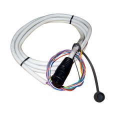
Furuno GP33 NMEA0183 Cable
NMEA 0183 Cable 10P f/GP33Features:NMEA 0183Cable 10PFor GP33.
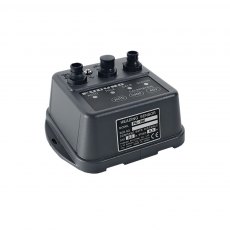
Furuno PG-500 Precision Fluxgate Compass - NMEA 0183
The PG-500 is a rate compensated heading sensor that incorporates innovative electromagnetic compass technology for highly accurate and stable readouts of your ship's heading. These sophisticated components are contained within a rugged, compact case. Unique design elements make the PG-500 virtually maintenance-free and easy to install.
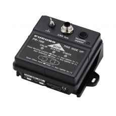
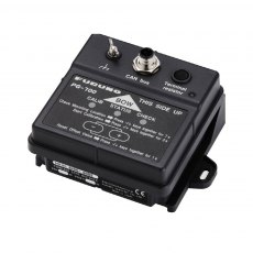
Furuno PG700 Integrated Heading Sensor
Fluxgate magnetic sensor with enhanced stability by a solid-state rate gyroscope. These sophisticated components are contained within a rugged, compact case. Unique design elements make the PG-700 virtually maintenance-free and easy to install. The PG-700 heading sensor detects terrestrial magnetism and produces compass data that can be utilized in CAN bus network.
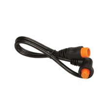
Garmin 12 Pin Right-angle Transducer Adapter Cable
Keep your black box sonar on the water with this replacement right angle transducer adapter cable, which has 12-pins and is 0.6 m (23.6 in) long.
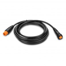
Garmin 12 Pin Transducer Extension Cable
Garmin Transducer Extension Cable 12pin With XID.


