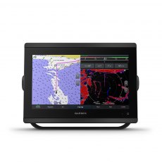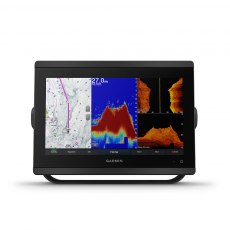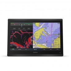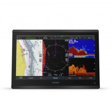
Garmin
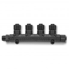
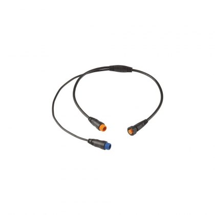
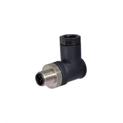
Garmin NMEA 2000 Multi-Port T-Connector
Make NMEA 2000 installations easier with our multi-port T-connector. This solution creates a more robust NMEA 2000 backbone by reducing issues with breaking points as well as stress induced by long back bones. The rigid construction is less prone to failure and decreases installation time.
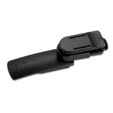
Garmin Swivel Belt Clip - for inReach Mini
Keep your device within reach while on the move with this swivel belt clip. Your device fits securely into a mount that clips to your belt.
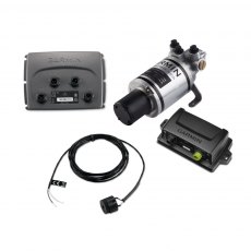
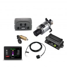
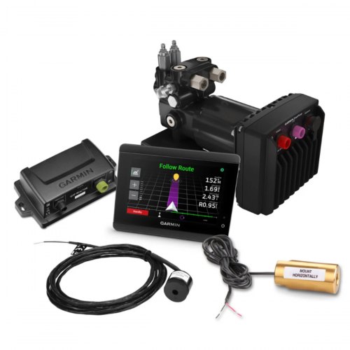
Garmin Compact Reactor 40 Hydraulic Autopilot Corepack
Designed for boats less than 30-foot-long, the Compact Reactor 40 hydraulic autopilot provides relief from manually holding the wheel to maintain course, especially when cruising at moderate to high speeds.
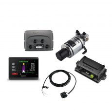
Garmin Compact Reactor 40 Hydraulic Autopilot Corepack & GHC 50
This corepack is an ideal autopilot solution for single-engine outboard boats that are less than 25'' long. It provides relief from manually holding the wheel to maintain course, especially when cruising at moderate to high speeds. The GHC 50 autopilot instrument adds a dedicated touchscreen autopilot display to the helm. Plus, the GHC 50 shares data and settings with Garmin MFDs and other installed Garmin devices.
Garmin Compact Reactor 40 Hydraulic Autopilot, Shadow Drive & GHC 50
This corepack is an ideal autopilot solution for single-engine outboard boats that are less than 25'' long. It provides relief from manually holding the wheel to maintain course, especially when cruising at moderate to high speeds. Tthe GHC 50 autopilot instrument adds a dedicated touchscreen autopilot display to the helm. Plus, the GHC 50 shares data and settings with Garmin MFDs and other installed Garmin devices.
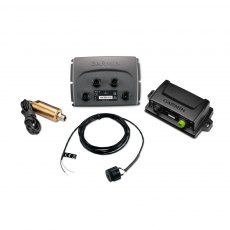
Garmin Reactor 40 Hydraulic Autopilot - Hydraulic Autopilot Only
With a complete package designed for powerboats and sailboats, Garmin brings an advanced marine technology to the boating public that was once only available for commercial boats. The Reactor 40 autopilot series is simply the most responsive autopilot system Garmin have ever offered.
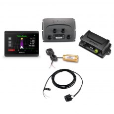
Garmin Reactor 40 Hydraulic Autopilot Corepack with GHC 50
With a complete package designed for powerboats and sailing boats, Garmin brings an advanced marine technology to the boating public that was once only available for commercial boats. The Reactor 40 autopilot series is simply the most responsive autopilot system we have ever offered. Includes GHC 50 Marine Autopilot Control Unit.
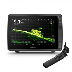
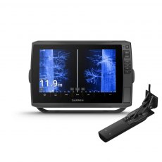
ECHOMAP Ultra2 122sv & GT56UHD-TM Transducer
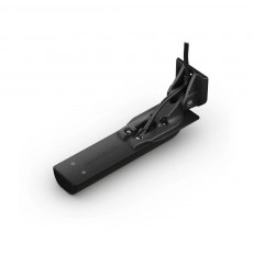
All the tools needed for successful fishing with big, crisp, sunlight-readable touchscreen displays, these versatile chartplotters provide a world of fishfinding capability They support Garmin Navionics+ and Garmin Navionics Vision+ mapping. Includes GT56UHD-TM transom mount transducer.
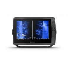
ECHOMAP Ultra2 122sv - Display Only
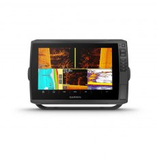
All the tools needed for successful fishing with big, crisp, sunlight-readable touchscreen displays, these versatile chartplotters provide a world of fishfinding capability They support Garmin Navionics+ and Garmin Navionics Vision+ mapping.
Garmin Card Reader for GPSMAP 8XXX Chartplotters
Provide convenient remote mounting and a single access point for 2 SD™ card slots for mapping with our Garmin Card Reader. A water resistant, magnetic door allows the card reader to be mounted horizontally or vertically — and you can add multiple card readers for additional access points. For Garmin GPSMAP 8XXX Chartplotters, Please check exact model compatibility below
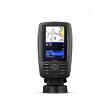
Garmin EchoMAP Plus 45cv
This compact combo has lots of built-in benefits. Easy-to-install and even easier to use, it has a bright 4.3” display that is easy to read on a sunny day on the water. It features built-in support for Garmin CHIRP traditional sonar that delivers remarkable target separation and CHIRP ClearVü scanning sonar for nearly photographic images of what’s below the boat. Preloaded with BlueChart g2 charts for the U.K., Ireland and the Northwest mainland Europe coast.
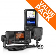
Garmin EchoMAP Plus 45cv & VHF 115i Bundle
A great compact combination with a lot of built in benefits for where communication is critical on the water. This Special Offer Bundle includes: Garmin ECHOMAP PLUS 45cvEasy-to-install and even easier to use, it has a bright 4.3” display that is easy to read on a sunny day on the water. Garmin VHF 115iWith the VHF 115i radio, you can stay in contact with the shore and other boats in your area.
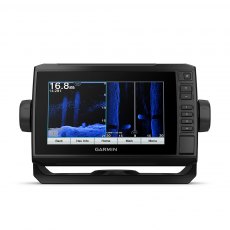
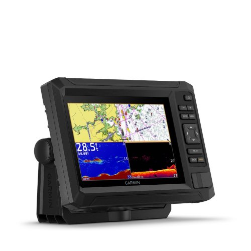
Garmin ECHOMAP UHD 75sv
Find more fish using the ECHOMAP UHD 75 combo. It features a bright, sunlight-readable 7” touchscreen with keyed assist plus support for Ultra High-Definition ClearVü and SideVü scanning sonar or Garmin high wide CHIRP traditional sonar.
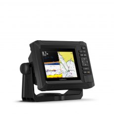
Garmin ECHOMAP UHD2 55cv Chartplotter
Fish like a local with the 5? ECHOMAP UHD2 55cv chartplotter. Get clear, high-contrast views below the boat with support for Garmin traditional and ClearVü scanning sonars (transducer sold separately). Know the waters with preloaded Garmin Navionics+ and support for Garmin Navionics Vision+.
Garmin ECHOMAP UHD2 75cv Chartplotter
Fish like a local with the 7 inch ECHOMAP UHD2 75cv chartplotter. Get clear, high-contrast views below the boat with support for Garmin traditional and ClearVü scanning sonars (transducer sold separately). Know the waters with preloaded Garmin Navionics+ and support for Garmin Navionics Vision+.
Garmin ECHOMAP UHD2 Touch 65sv Chartplotter
The 6” ECHOMAP UHD2 touchscreen with keyed-assist chartplotter knows the water better than a local. Get clear, high-contrast views all around the boat with support for Garmin traditional, ClearVü and SideVü scanning sonars. Navigate the waters with preloaded Garmin Navionics+ charts for the U.K., Ireland, and the Netherlands.
Garmin ECHOMAP UHD2 Touch 75sv Chartplotter
The 7” ECHOMAP UHD2 touchscreen with keyed-assist chartplotter knows the water better than a local. Get clear, high-contrast views all around your boat with support for Garmin traditional, ClearVü and SideVü scanning sonars. Navigate the waters with preloaded Garmin Navionics+ charts for the U.K., Ireland, and the Netherlands.
Garmin ECHOMAP UHD2 Touch 95sv Chartplotter
The 9” ECHOMAP UHD2 touchscreen with keyed-assist chartplotter knows the water better than a local. Get clear, high-contrast views all around your boat with support for Garmin traditional, ClearVü and SideVü scanning sonars. Navigate the waters with preloaded Garmin Navionics+ charts for the U.K., Ireland, and the Netherlands.
Garmin ECHOMAP Ultra2 102sv & GT56UHD-TM Transducer
All the tools needed for successful fishing with big, crisp, sunlight-readable touchscreen displays, these versatile chartplotters provide a world of fishfinding capability They support Garmin Navionics+ and Garmin Navionics Vision+ mapping.
Includes GT56UHD-TM transom mount transducer.
Garmin ECHOMAP Ultra2 102sv Chartplotter
All the tools needed for successful fishing with big, crisp, sunlight-readable touchscreen displays, these versatile chartplotters provide a world of fishfinding capability They support Garmin Navionics+ and Garmin Navionics Vision+ mapping.
Garmin GPSMAP 1022 Chartplotter Only
Experience an advanced all-in-one solution with our 10-inch GPSMAP® 1022 keyed chartplotter. Includes built-in wireless for Garmin mobile apps and support for Garmin Marine Network, NMEA 2000® and NMEA 0183. Chartplotter Only Model - No built in Sonar capabilities.
Garmin GPSMAP 1022xsv Chartplotter & Sonar
Experience an advanced all-in-one solution with our 10-inch GPSMAP® 1022 keyed chartplotter. Includes built-in wireless for Garmin mobile apps and support for Garmin Marine Network, NMEA 2000® and NMEA 0183. Chartplotter with CHIRP, ClearVu & SideVu Sonar
Garmin GPSMAP 1222 - Chartplotter Only
GPSMAP 1222 is designed for cruisers, blue water cruisers and racers who need the advanced all-in-one solution. Featuring a 12-inch bright screen and easy to use interface and are compatible with the Garmin Marine Network. GPSMAP 1222 Chartplotter only - No built in Sonar capabilities
Garmin GPSMAP 1222xsv Chartplotter & Sonar
GPSMAP 1222 is designed for cruisers, blue water cruisers and racers who need the advanced all-in-one solution. Featuring a 12-inch bright screen and easy to use interface and are compatible with the Garmin Marine Network. GPSMAP 1222xsv Chartplotter with CHIRP, ClearVu & SideVu Sonar
Garmin GPSMAP 1223 - Chartplotter
Get a sharper view from your connected helm with the GPSMAP 1223 chartplotter. With its high-resolution 12” in-plane switching display, ultrasleek design and vivid sonar colour palette, it seamlessly integrates into your Garmin marine system.
Chartplotter only, No built in Sonar Capabilities.
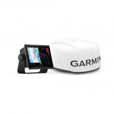
Garmin GPSMAP 1223xsv & GMR 18 HD3 Radome
With its sleek design, powerful processing and upgraded IPS display, this advanced 12″ chartplotter integrates seamlessly into a Garmin marine system.
The compact 18″ dome radar combines ease of use with powerful scanning features that work to maximise confidence and situational awareness on the water.
Garmin GPSMAP 1223xsv - Chartplotter & Sonar
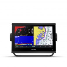
Get a sharper view from your connected helm with the GPSMAP 1223 chartplotter. With its high-resolution 12” in-plane switching display, ultrasleek design and vivid sonar colour palette, it seamlessly integrates into your Garmin marine system. GPSMAP 1223xsv also features built-in Ultra High-Definition SideVü and ClearVü scanning sonars and supports 1 kW CHIRP traditional sonar as well as fully networkable radar, Panoptix LiveScope sonar and Auto Guidance technology.
Garmin GPSMAP 1623 - Chartplotter Only
With its sleek design, powerful processing and upgraded IPS display, this advanced 16? chartplotter integrates seamlessly into a Garmin marine system.
Garmin GPSMAP 1623xsv - Chartplotter & Sonar
With its sleek design, powerful processing and upgraded IPS display, this advanced 16? chartplotter integrates seamlessly into a Garmin marine system.
Garmin GPSMAP 723 - Chartplotter
Get a sharper view from your connected helm with the GPSMAP 723 chartplotter. Its higher-resolution 7” display has 60% more pixels than previous-generation touchscreens. And with its compact footprint, vivid sonar colour palette and nearly double the processing power of previous-generation GPSMAP devices, it seamlessly integrates into your Garmin marine system.
Chartplotter only, No built in Sonar Capability.
Garmin GPSMAP 723xsv Chartplotter & Sonar
Get a sharper view from a connected helm with the GPSMAP 723 chartplotter. Its higher-resolution 7” display has 60% more pixels than previous-generation touchscreens. And with its compact footprint, vivid sonar colour palette and nearly double the processing power of previous-generation GPSMAP devices, it seamlessly integrates into your Garmin marine system. The GPSMAP 723xsv also features built-in Ultra High-Definition SideVü and ClearVü scanning sonars and supports 1 kW CHIRP traditional sonar as well as fully networkable radar, Panoptix LiveScope sonar and Auto Guidance technology.
Garmin GPSMAP 820xs 8" Chartplotter with Sonar
The GPSMAP 820xs keyed chartplotter/sonar combo has a 8” colour SVGA display and comes preloaded with a worldwide basemap. HD-ID 1 kW sonar, CHIRP and ClearVü with CHIRP sonar technology are built-in allowing the flexibility to choose from several optional transducers.
Garmin GPSMAP 8410 10'' MFD - Chartplotter Only
Serious cruisers, sailors and sail racers demand serious equipment. The easy-to-use, easy-to-install GPSMAP 8410 chartplotter delivers MFD performance in a combo-size package. It features a 10” full HD IPS touchscreen display for wider viewing angles, superior clarity and sunlight readability, even with polarized sunglasses. Multiple displays can be flat mounted edge-to-edge to create a sleek glass helm look or can be mounted flush.
Chartplotter Only (No built in Sonar Capabilities)
Garmin GPSMAP 8410xsv 10'' MFD Chartplotter / Sonar
Serious cruisers, sailors and sail racers demand serious equipment. The easy-to-use, easy-to-install GPSMAP 8410 chartplotter delivers MFD performance in a combo-size package. It features a 10” full HD IPS touchscreen display for wider viewing angles, superior clarity and sunlight readability, even with polarized sunglasses. Multiple displays can be flat mounted edge-to-edge to create a sleek glass helm look or can be mounted flush. It also provides standard USB touch output for use as a touchscreen monitor for Windows® and Mac® operating systems.
Chartplotter with CHIRP, ClearVu & SideVu Sonar
Garmin GPSMAP 8412 12'' MFD - Chartplotter Only
Serious cruisers, sailors and sail racers demand serious equipment. The easy-to-use, easy-to-install GPSMAP 8412 chartplotter delivers MFD performance in a combo-size package. It features a 12” full HD IPS touchscreen display for wider viewing angles, superior clarity and sunlight readability, even with polarized sunglasses. Multiple displays can be flat mounted edge-to-edge to create a sleek glass helm look or can be mounted flush. It also provides standard USB touch output for use as a touchscreen monitor for Windows and Mac operating systems.
Chartplotter Only (No built in Sonar Capabilities)
Garmin GPSMAP 8412xsv 12'' MFD Chartplotter / Sonar
Serious cruisers, sailors and sail racers demand serious equipment. The easy-to-use, easy-to-install GPSMAP 8412 chartplotter delivers MFD performance in a combo-size package. It features a 12” full HD IPS touchscreen display for wider viewing angles, superior clarity and sunlight readability, even with polarized sunglasses. Multiple displays can be flat mounted edge-to-edge to create a sleek glass helm look or can be mounted flush.
It also provides standard USB touch output for use as a touchscreen monitor for Windows and Mac operating systems. Chartplotter with CHIRP, ClearVu & SideVu Sonar
Garmin GPSMAP 8416 16'' MFD - Chartplotter Only
Serious cruisers, sailors and sail racers demand serious equipment. The easy-to-use, easy-to-install GPSMAP 8416 chartplotter delivers MFD performance in a combo-size package. It features a 16” full HD IPS touchscreen display for wider viewing angles, superior clarity and sunlight readability, even with polarized sunglasses. Multiple displays can be flat mounted edge-to-edge to create a sleek glass helm look or can be mounted flush. It also provides standard USB touch output for use as a touchscreen monitor for Windows and Mac operating systems.
Chartplotter Only (No built in Sonar Capabilities)
Garmin GPSMAP 8416xsv 16'' MFD Chartplotter / Sonar
Serious cruisers, sailors and sail racers demand serious equipment. The easy-to-use, easy-to-install GPSMAP 8416 chartplotter delivers MFD performance in a combo-size package. It features a 16” full HD IPS touchscreen display for wider viewing angles, superior clarity and sunlight readability, even with polarized sunglasses. Multiple displays can be flat mounted edge-to-edge to create a sleek glass helm look or can be mounted flush. It also provides standard USB touch output for use as a touchscreen monitor for Windows and Mac operating systems.
Chartplotter with CHIRP, ClearVu & SideVu Sonar
Garmin GPSMAP 8424
GPSMAP 8424 large-format multifunction display features a 24-inch full HD screen with touch control. Sunlight-readable, anti-glare display is exceptionally easy to view and also includes auto-dimming feature for use in low light or at night. New maximum glass design enables you to experience a beautifully powerful, completely networked helm at your fingertips.
Garmin GPSMAP 9024 24" Premium Chartplotter
24" Premium chartplotter with worldwide basemap. The industry’s first integrated 4K resolution touchscreen chartplotter. Enjoy edge-to-edge clarity and luxury on a glass helm with premium design and materials plus enhanced connectivity and speed.
Garmin GPSMAP 9027
27" Premium chartplotter with worldwide basemap. The industry’s first integrated 4K resolution touchscreen chartplotter. Enjoy edge-to-edge clarity and luxury on a glass helm with premium design and materials plus enhanced connectivity and speed.
Garmin GPSMAP 923 - Chartplotter Only
Get a sharper view from your connected helm with the GPSMAP 923 chartplotter. Its higher-resolution 9” in-plane switching display has 50% more pixels than previous-generation touchscreens. And with its compact footprint, vivid sonar colour palette and nearly double the processing power of previous-generation GPSMAP devices, it seamlessly integrates into your Garmin marine system. Chartplotter only, No built in Sonar capability.
Garmin GPSMAP 923xsv & GMR 18 HD3 Radome
With its sleek design, powerful processing and upgraded IPS display, this advanced 9″ chartplotter integrates seamlessly into a Garmin marine system.
The compact 18″ dome radar combines ease of use with powerful scanning features that work to maximise confidence and situational awareness on the water.
Garmin GPSMAP 923xsv - Chartplotter & Sonar
Get a sharper view from your connected helm with the GPSMAP 923 chartplotter. Its higher-resolution 9” in-plane switching display has 50% more pixels than previous-generation touchscreens. And with its compact footprint, vivid sonar colour palette and nearly double the processing power of previous-generation GPSMAP devices, it seamlessly integrates into your Garmin marine system. GPSMAP 923xsv also features built-in Ultra High-Definition SideVü and ClearVü scanning sonars and supports 1 kW CHIRP traditional sonar as well as fully networkable radar, Panoptix LiveScope sonar and Auto Guidance technology.
Garmin Grid 20 Remote Input Device - Vertical
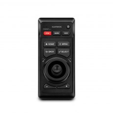
The easy-to-use GRID 20 remote input device provides intuitive remote access and control of your entire Garmin marine system. It features a 360-degree joystick with a rotary knob and push-to-select button for easy chartplotter menu/setting navigation and fine control, even in the worst conditions. You can designate four favourite keys to restore your system to a previously saved configuration.
Garmin Grid Remote Input Device for GPSMAP Chartplotters
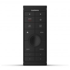
Provides full control of all GPSMAP® 8000 Glass Helm series units. Rotary knob and joystick controls provide full control over multiple monitors with 1 device. Can be integrated into a captain’s chair for a low-profile controlling solution.
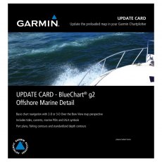
Garmin WorldWind Marine Detail - Update Card
This preprogrammed update card for your chartplotter gives you detailed electronic nautical charts that provide a smooth data transition between zoom levels. Data includes navaids, port plans, depth contours, fishing contours, spot soundings and more.
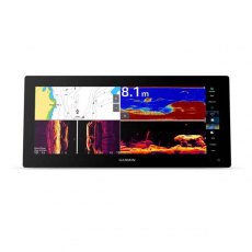
GPSMAP® 1523xsv SideVü, ClearVü and Traditional CHIRP Sonar with Worldwide Basemap
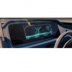
15 Inch Ultrawide Chart Plotter
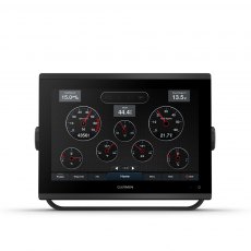
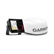
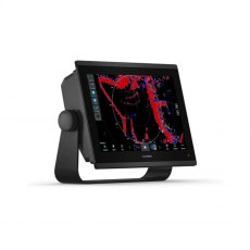
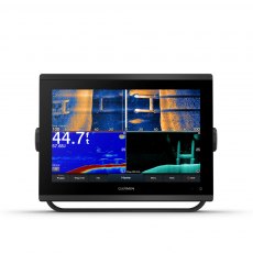
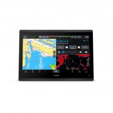
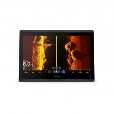
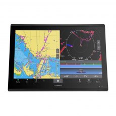
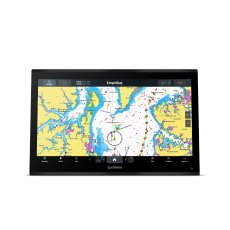
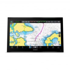
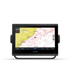
Offering a sleek aesthetic in an ultrawide edge-to-edge glass format, this advanced 15-inch chartplotter clearly expands your perspective at the helm. It is 74% wider and boasts more pixels than a standard 9-inch GPSMAP® 923 chartplotter, providing enhanced viewing clarity.


