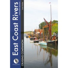
East Coast Rivers Cruising Companion Hardback (New Edition)
Well established as ‘the East Coast yachtsman’s bible’, this 20th edition of Jan Harber’s classic cruising companion marks the book’s 60th anniversary.
Dating back to 1956 when Jack Coote, Jan’s father, produced the first black and white edition, East Coast Rivers, now extending from Lowestoft to Ramsgate, continues to cover the rivers, curlew-haunted creeks and...
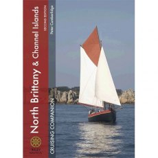
North Brittany & Channel Islands
New edition of the best-selling cruising companion covering the whole spectacular North Brittany coast, the Channel Islands and the attractive west side of the Cherbourg peninsula all in one splendid colourful volume. HB 288pp
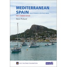
Mediterranean Spain (1st Combined Edition, 2017)
Mediterranean Spain
This new volume replaces the current two part coverage of the Mediterranean mainland coast of Spain from Gibraltar to the French border.
The entire coverage has been revised with the text updated, new plans added and others updated from the latest information.
There are numerous new photos to support the sailing directions.
This is the only detailed pilot for the Spanish Mediterranean...
North West Spain Crusing Companion
Product details
Hardcover: 176 pages
Publisher: Fernhurst Books Ltd. (1 Sept. 2002)
Language: English
ISBN-10: 1904358101
ISBN-13: 978-1904358107
Yachting Monthly South West Spain & Portugal Cruising Companion
Yachting Monthly South West Spain & Portugal Cruising Companion- Covers the from Bayona in the north to the Strait of Gibraltar, including a detour to Ceuta. It provides pilotage, nautical information and insights into the history, culture and culinary specialities of this part of the world.Hardback, 176 pages, Full colour port plans and photos throughout.
Imray Turkish Waters & Cyprus Pilot [10th Edition].
Turkish Waters and Cyprus Pilot covers the entire coast of Turkey from the Black Sea down the Aegean coast and around to the Syrian border. The coasts, ports and marinas of the island of Cyprus are also described.
There are few more beautiful cities in the world that it is possible to sail into the heart of, but that is what the authors were able to do in Istanbul while researching this, the tenth...
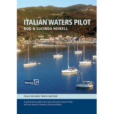
Italian Waters Pilot (10th Edition )
Italian Waters Pilot is the only guide for yachtsmen in English that covers the coasts of the Tyrrhenian Sea, Sardinia, Sicily, the Ionian 'heel' and Malta in one volume.
This new tenth edition builds on first-hand research by the authors through the Tuscan islands, along the Tyrrhenian and Ionian coasts, to Sardinia and Sicily, Malta and Gozo.Numerous revisions have been made throughout, with the...
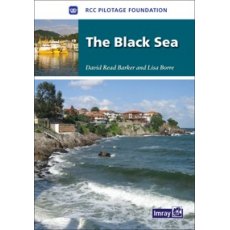
imray The Black Sea Cruising Guide
The Black Sea
RCCPF / Barker and Borre
Based on previously published cruising notes this guide provides sailing directions for all the countries surrounding the Black Sea.Packed with useful background information and supported by the RCCPF’s access to the latest and often changing information this is an essential companion for anyone venturing north from the Bosphorus.






![Imray Turkish Waters & Cyprus Pilot [10th Edition]. Imray Turkish Waters & Cyprus Pilot [10th Edition].](/images/products/small/8591_3805.jpg)
